


- -€25.90
Language:


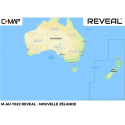
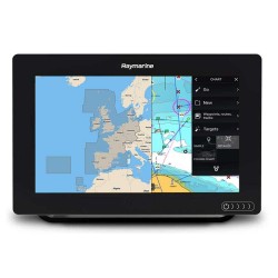
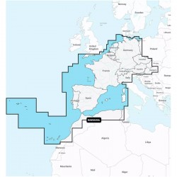
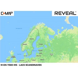
C-MAP REVEAL EN-326 map Finland lakes and Baltic Sea
Ref.
M-EN-Y326-MS
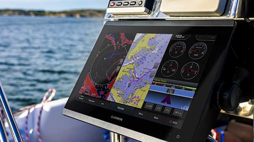
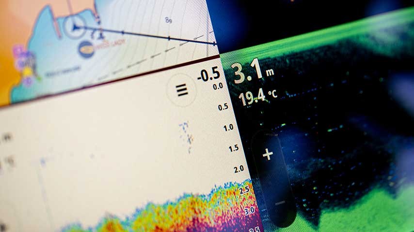
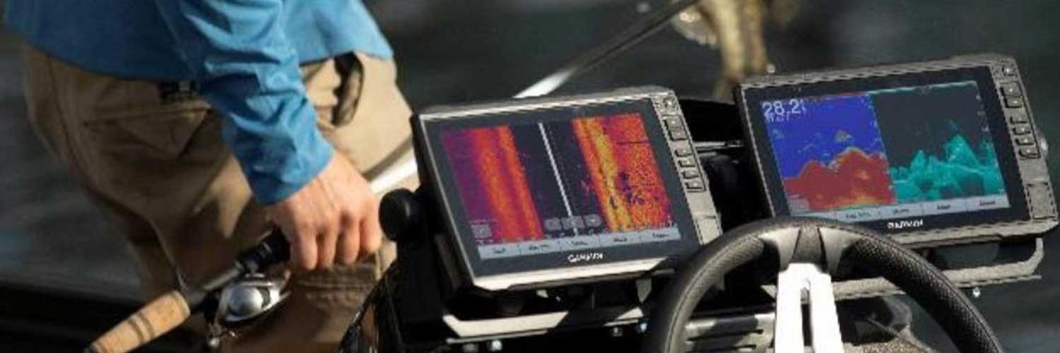
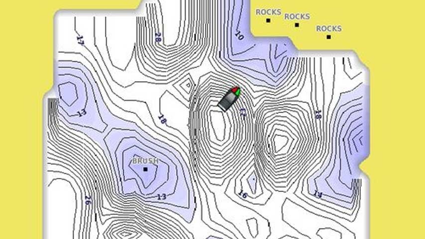
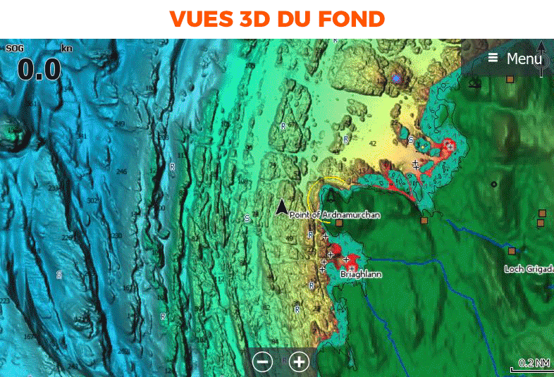
In addition to the classic C-MAP DISCOVER chart features, the REVEAL and REVEAL X versions (for NSX handsets only) will display shaded relief (including 3D seabed imagery), aerial photography,satellite image overlay and dynamic raster chart presentation (similar to SHOM paper charts) on your compatible chartplotter.
➟ C-MAP chart compatibility guide
Read more Features
€212.90
Tax included
Public price
€238.80
Price tax excl. / DOM TOM
€177.42
M-EN-Y326-MS
Data sheet
- Range
- C-MAP REVEAL, C-MAP REVEAL X
- Geographical area
- Europe
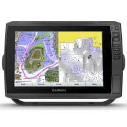
C-MAP - REVEAL and REVEAL X charts - EN326 - Finland lakes and Baltic Sea
Whether for cruising, fishing or sailing, C-MAP REVEAL and REVEAL X charts offer the best of C-MAP. The REVEAL range is compatible with Simrad, B&G and Lowrance chartplotters (except Hook and Cruise). While the Reveal X range is designed exclusively for Simrad NSX with the new Android-based interface.
Choose your Reveal or Reveal X model according to your tracker.
Consult the compatibility table before you buy
|
|
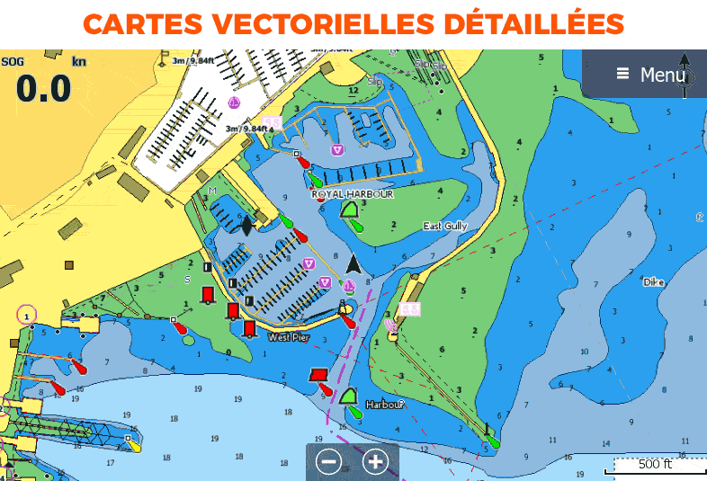
FEATURES COMMON TO REVEAL AND DISCOVER
|
Exclusive REVEAL featuresReveal charts feature additional functions in addition to those common to C-MAP Discover.
|
|
HOW TO CHOOSE YOUR C-MAP?
| DISCOVER | REVEAL | |
|---|---|---|
| Detailed vector map | ✅ | ✅ |
| High resolution bathymetry 2.0 | ✅ | ✅ |
| Customizable color palette | ✅ | ✅ |
| Multi-language card | ✅ | ✅ |
| Easy Routing | ✅ | ✅ |
| Tides and currents | ✅ | ✅ |
| Detailed maps of ports and marinas | ✅ | ✅ |
| Advanced lake mapping | ✅ | ✅ |
| Protected areas | ✅ | ✅ |
| Free updates - 1 year | ✅ | ✅ |
| Raster maps | ❌ | ✅ |
| Aerial photos | ❌ | ✅ |
| Satellite images | ❌ | ✅ |
| 3D background views (relief shading) | ❌ | ✅ |
MAIN POINTS:
|
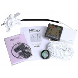
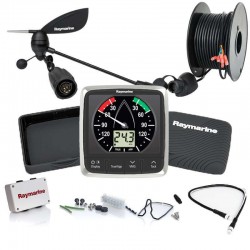
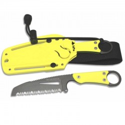
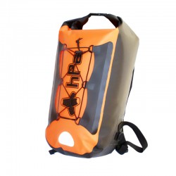
CONTENTS OF THE BOX :
|
Customer Reviews
- -€25.90
- -€25.90
- -€25.90
- -€25.90
- -€25.90
- -€25.90
- -€25.90
- -€25.90
- -€25.90