


- -€60.09
⭐️ Best Seller


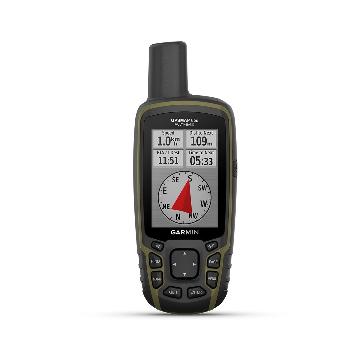
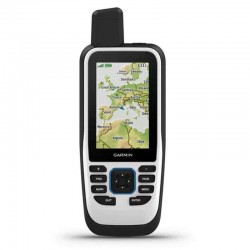
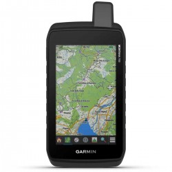
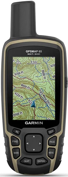
The portable GPS Garmin GPSMAP 65s offers optimum tracking accuracy and preloaded cartography to guide you on your explorations. With a large 2.6" anti-glare color display, multi-band technology and extended GNSS compatibility, you can orientate yourself easily in difficult environments. What's more, the battery will give you up to 16h of autonomy in GPS mode. The GPSMAP 65S features a barometric altimeter and 3-axis compass, which the GPSMAP 65 does not.
Read more FeaturesData sheet
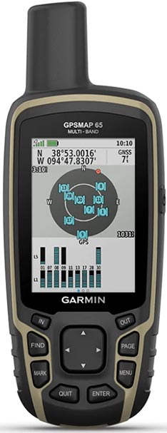
The portable GPS Garmin GPSMAP 65s uses multi-band technology, a high-sensitivity receiver and several global navigation systems (GPS, GLONASS, Galileo, QZSS and IRNSS) to locate your position quickly and accurately, even in difficult environments. ABC sensors and preloaded TopoActive Europe maps help you track every route with precision, while the Garmin Explore mobile app lets you plan, view and synchronize waypoints, routes and tracks.
|
|
STAY ON COURSEMulti-band technology and support for multiple GNSS systems (GPS, GLONASS, Galileo, QZSS and IRNSS) provide optimum accuracy in steep areas, urban canyons and dense forests. |
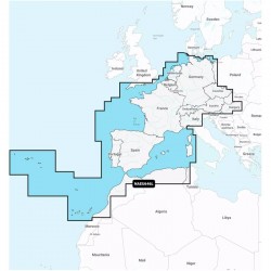
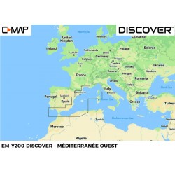
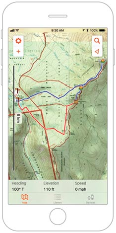
PRELOADED EUROPE MAPSTopoActive Europe's preloaded maps offer a detailed view of navigable routes, off-road paths, waterways, natural sites, land use zones and buildings. You can also easily download TOPO maps to your compatible device using a microSD memory card, or access HuntView maps to view public and private land types with boundaries and owner names. |
 |
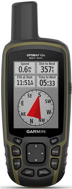 |
EVEN MORE FEATURESThe 65s version includesaltimeter and barometer functions, as well as a 3-axis electronic compass. GPSMAP 65s lets you share your waypoints, tracks, routes and treasure hunts with other compatible devices, via Bluetooth and ANT+ wireless networks. You can share your favorite routes or treasure hunts with your friends, without making them wait: simply press "Send" and transfer your information to another portable device Garmin. With Smart Notifications, you can take advantage of the wireless network to receive e-mails, SMS and alerts from your smartphone, which will be displayed on your GPSMAP 65s. |
GARMIN EXPLORE APPLICATIONPlan, consult and synchronize waypoints, routes and tracks using the Garmin Exploremobile application and website . You can even view previous activities while you're still in the field. |
 |
| GPSMAP 65 | GPSMAP 65S | |
|---|---|---|
| Transflective display | ✅ | ✅ |
| GPS/GLONASS receiver | ✅ | ✅ |
| GALILEO receiver | ✅ | ✅ |
| BirdsEye satellite image readout | ✅ | ✅ |
| Bluetooth functionality | ✅ | ✅ |
| GARMIN Explore compatible | ✅ | ✅ |
| Detailed hydrographic features | ✅ | ✅ |
| Smart Notification | ✅ | ✅ |
| Preloaded TOPO Europe map | ✅ | ✅ |
| Barometric altimeter | ❌ | ✅ |
| 3-axis electronic compass | ❌ | ✅ |
MAIN POINTS:
|
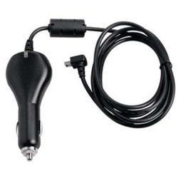
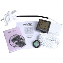
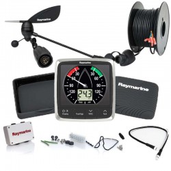
BOX CONTENTS :
Requires 2 AA batteries - Not included |
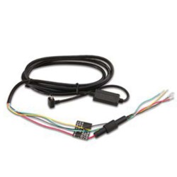
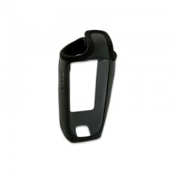
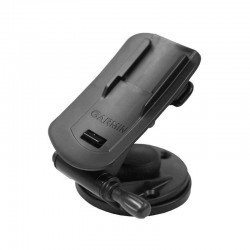
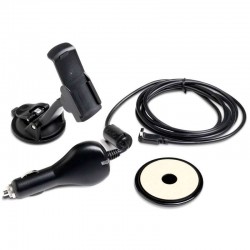
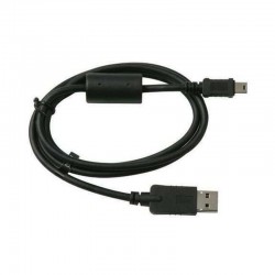
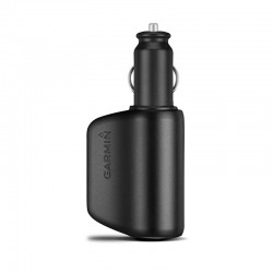
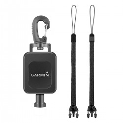
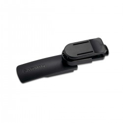
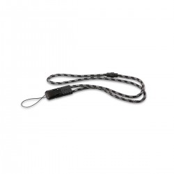
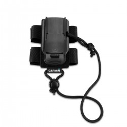
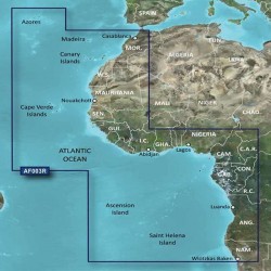
Accessories
Customer Reviews