- -€21.58
C-Map marine charts offer a wide range of information for navigation. Please refer to the compatibility guide.
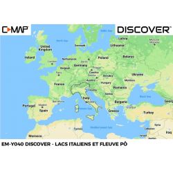
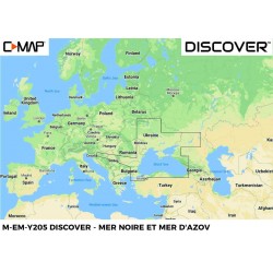
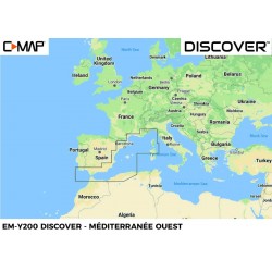
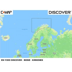
The Discover range offers all the functions you need for navigation: bathymetry, easy routing, tides and currents etc...
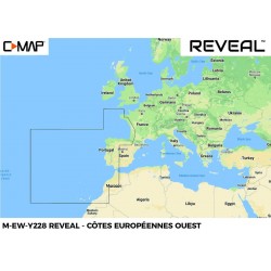
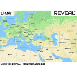
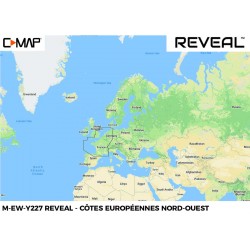
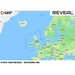
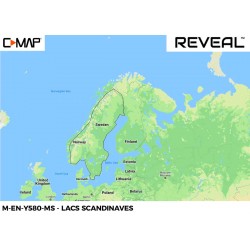
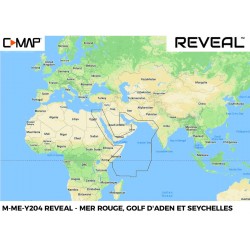
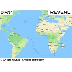
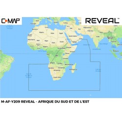
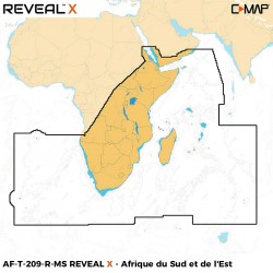
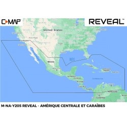
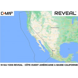
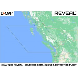
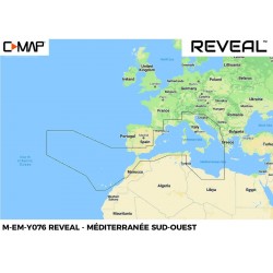
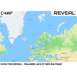
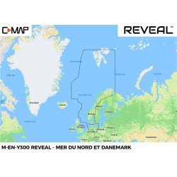
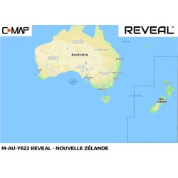
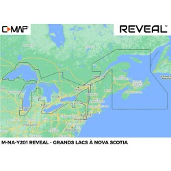
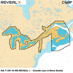
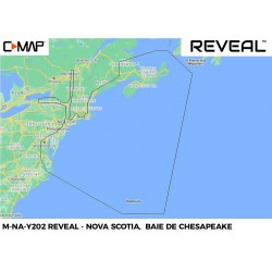
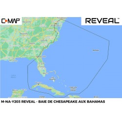
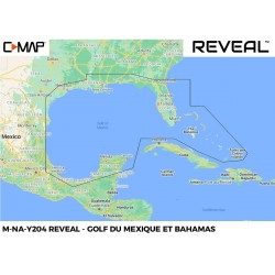
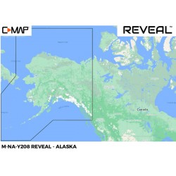
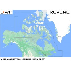
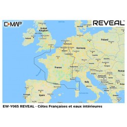
The REVEAL range will also display shaded relief (including 3D seabed imagery), aerial photography, satellite image overlay and dynamic raster charts (similar to SHOM paper charts).
The X , Reveal X and Discover X versions are for SIMRAD NSX chartplotters only.
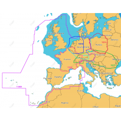
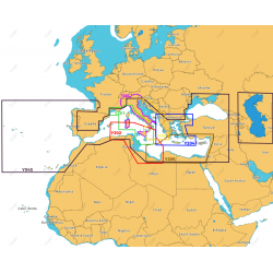
Here you'll find our full range of C-Map charts, one of the best-known brands in marine cartography.