- -€0.79
- New
Carte Standard
Ref.
ALM-VDM-105121008
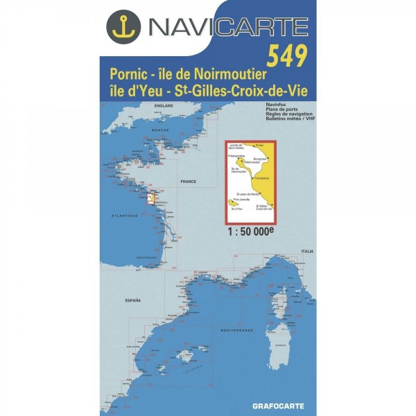
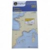
The Navicarte marine chart 1008 provides a detailed representation of the Propriano, Bonifacio, and La Maddalena areas. Designed for coastal and offshore navigation, it offers essential information for route planning and maritime safety. Its design ensures clear readability of depths, buoys, and hazards. A reference tool for demanding navigators.
ALM-VDM-105121008
Navicarte - Chart 1008 - Precision for Navigation
The Navicarte marine chart 1008 provides an accurate cartographic representation of the waters around Propriano, Bonifacio, and La Maddalena. This tool is designed to assist navigators in planning and executing their voyages, offering essential data for safe and efficient navigation.
Ideal for coastal passages and offshore navigation in this specific region, it ensures a clear understanding of the marine environment.
| |
Reliability and Cartographic ClarityThe design of this chart ensures optimal readability of marine information.
|
| |
KEY POINTS:
|
Customer Reviews (0)
No customer reviews for the moment.
Sign in to leave a review
Questions / Answers