- -€0.24
- New
Carte Plastifiée
Ref.
ALM-VDM-105888546
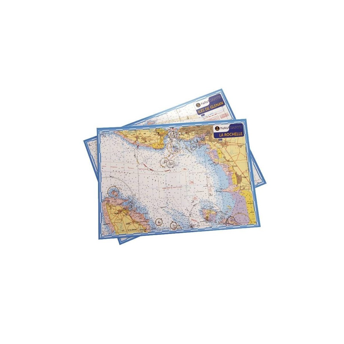
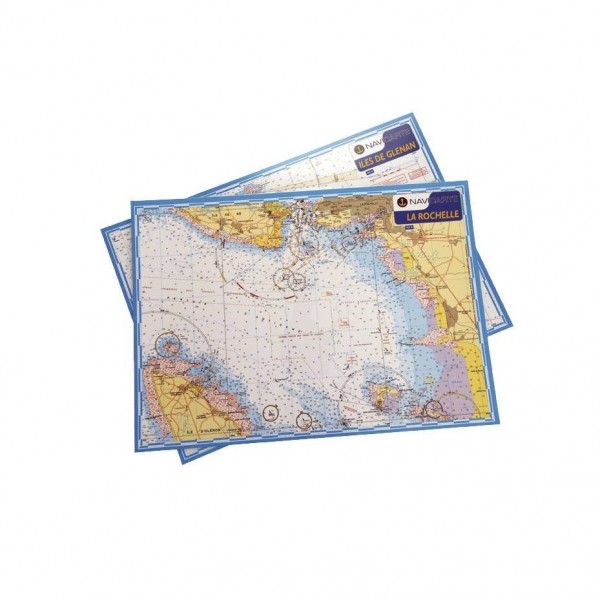
This laminated marine chart provides a detailed representation of the Gulf of Morbihan. Designed for coastal navigation, it resists water splashes and ambient humidity. Its format allows for easy consultation on board, ensuring efficient route planning and precise identification of marine landmarks.
ALM-VDM-105888546
Navicarte - Mininav Golfe Morbihan - Precision and Durability
The Mininav Golfe Morbihan laminated chart from Navicarte provides marine cartography of the Gulf of Morbihan area. Its laminated design ensures increased resistance to the marine environment, protecting it from humidity and frequent handling. This medium is suitable for route planning and tracking in coastal navigation.
Ideal for local navigations, it ensures reliable consultation of essential nautical information for this specific area.
| |
Robust Design for NavigationThis chart is designed for practical use on board, offering durability adapted to marine constraints.
|
| |
MAIN POINTS:
|
Customer Reviews (0)
No customer reviews for the moment.
Sign in to leave a review
Questions / Answers