Portable GPS
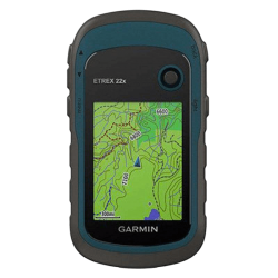
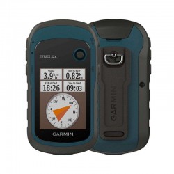
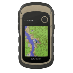
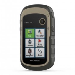
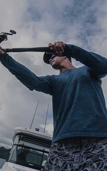
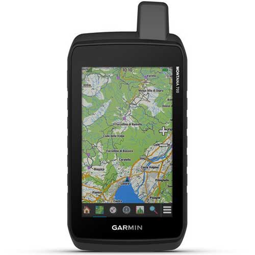
Comptoir Nautique offers Garmin portable GPS units, as well as Garmin Quatix watches designed to meet the requirements of all keen navigators, such as the powerful yet compact Garmin Etrex 32x GPS. For fishing, kayaking, canoeing and even hiking in the mountains with the Garmin Montana 700 GPS, for example. Solid devices that follow you wherever you go, while recording your precise position at all times. Set off on an adventure and explore new horizons.
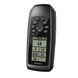
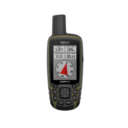
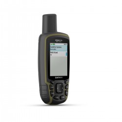


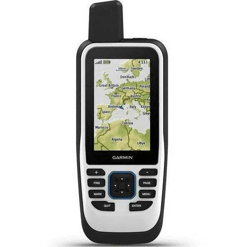
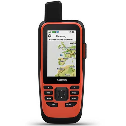
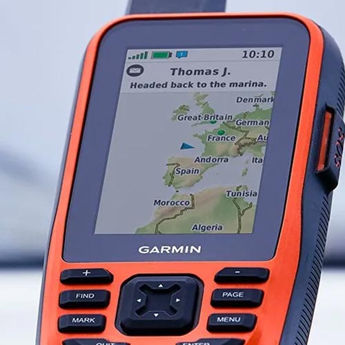
Portable GPS GPSMAP 79s
- -€32.58
- -€50.08
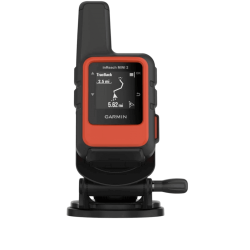
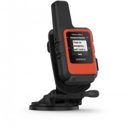
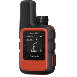
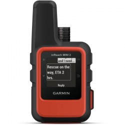
Pack Marine inReach Mini 2 with boat mount
- -€40.92
 |
Portable GPSHandheld GPS units from the well-known GARMIN brand are compatible with gps charts for navigating all seas and oceans.
|
GPS HikingDesigned for adventure, our range of handheld GPS devices will help you find your way even in the most remote areas.
|
 |
 |
Inreach modelsInreach technology is based on the principle of using the Iridium satellite network (worldwide coverage). Set off on an adventure and explore new horizons. Record your position in real time with your garmin inreach.
|
What's a portable gps for?Portable GPS units are navigation devices that can be used anytime, anywhere, making them ideal for a wide range of outdoor activities. They are generally smaller and lighter than fixed GPS units, and can be carried easily in a backpack or pocket. Here are just some of the situations in which a portable GPS can be useful:
Unlike fixed GPS units, portable GPS units have the advantage of being easier to carry and use, but are generally less accurate and less robust. Fixed GPS units, on the other hand, are heavier and take up more space, but are more accurate and durable. The choice between a portable and a fixed GPS depends on your needs and usage. |
 |
 |
PORTABLE GPS AT COMPTOIR NAUTIQUEThe Garmin brand is recognized as one of the world's leading GPS specialists. Their navigation devices offer a wide variety of mapping options to suit any environment: boating, outdoor activities, aviation, gliding, paragliding.. Equipped in most cases witha color screen and/or touchscreen, Garmin portable GPS units are among the best products on the market. Some models feature a built-in camera, an atmospheric pressure sensor (for precise altimetry), or geocaches (up to 250,000 geocaches), opening up an immense playground for sporting explorations or family treasure hunts. What's more, their long battery life (rechargeable via USB cable) means you can set off with peace of mind. In terms of GPS receivers, the Garmin devices offer Galileo, GPS and GLONASS protocols, providing wide coverage and enhanced accuracy. Combined with an electronic compass, precise digital maps and boosted by the Garmin Connect mobile application, you're bound to find the portable GPS that suits your needs and desires. Comptoir Nautique in this selection, we offer you the best prices and genuine expertise. Please feel free to refer to our guides and comparisons, as well as the advice of our team of enthusiasts. |