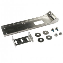
- -€68.92
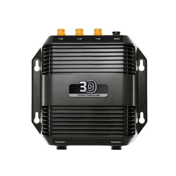
The Structure Scan 3D from Lowrance is the brand's latest fishfinder module, enabling you to visualize fish, structure and bottom contours thanks to an exceptional 3D view. This unique imaging system will give you a better understanding of bottom structure and the position of fish in relation to the boat.
Read moreLOWRANCE - STRUCTURE SCAN 3D - PROJECTION WITHOUT LIMITS
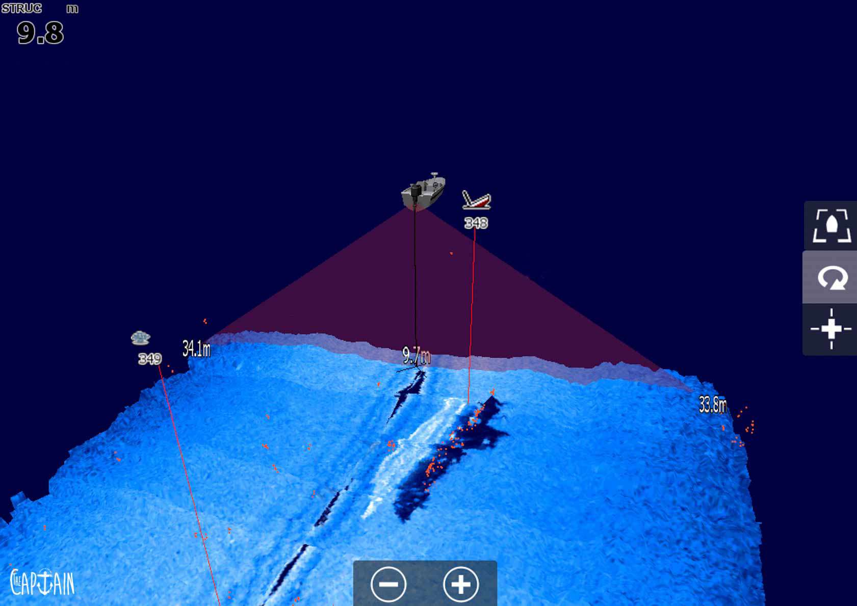
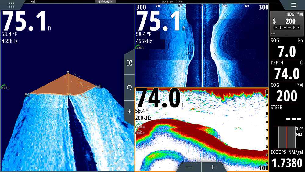
StructureScan 3D is powered by multi-beam sonar technology capable of producing images rich in detail by probing submerged terrain and areas with high concentrations of fish, converting them into high-resolution 180-degree views in three dimensions.
|
|
EASY INTERPRETATIONView 3D images from any angle with ScanTrack pan, tilt and rotate controls, using the touch screen and pre-configured viewing positions. StructureScan 3D helps to identify the location of areas with a high concentration of fish relative to the boat more quickly. By scanning a fishing area in slow motion with the 180-degree wide-angle scan, anglers can quickly find and cover key areas, such as underwater peaks, ditches, rock or brush piles, pieces of wood, wrecks... Take advantage of a detection system that can be adjusted at will for a better understanding of the bottom relief, without the need for a water column, and which locates your fish detections in your cone on your screen! |
2D, 3D, DOWNSCAN AND SIDESCANContours below the water surface can be displayed on the sides of the boat, up to 180 meters (theoretical) to port and starboard, with extremely detailed, high-definition views. StructureScan 3D offers several views, including two-dimensional DownScan and StructureScan HD imagery, as well as the new realistic three-dimensional view. Combine the customized HD view with the 3D view to better understand how fish react and to search fishing grounds more efficiently. |
 |
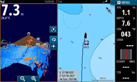 |
SUPERIMPOSE YOUR WAYPOINTSSelectScan automatically shades areas of high fish concentration and floating targets in a contrasting color, making target identification faster and easier than ever. It's now easy to review fishing areas, bottom structure and other submerged objects with the Waypoint Overlay function. Use the numeric keypad to record a waypoint over the boat's position, or record a waypoint over targets or baitfish. As with Structure Scan HD, you can use the Trackback function to analyze the image and mark any interesting features with waypoints. |
KEY FEATURES
|
BOX CONTENTS :
|
Accessories
Customer Reviews (0)
Questions / Answers

