- -€2.64
 - N°1 - comptoirnautique.com")
 - N°2 - comptoirnautique.com")
 - N°1 - comptoirnautique.com")
 - N°2 - comptoirnautique.com")
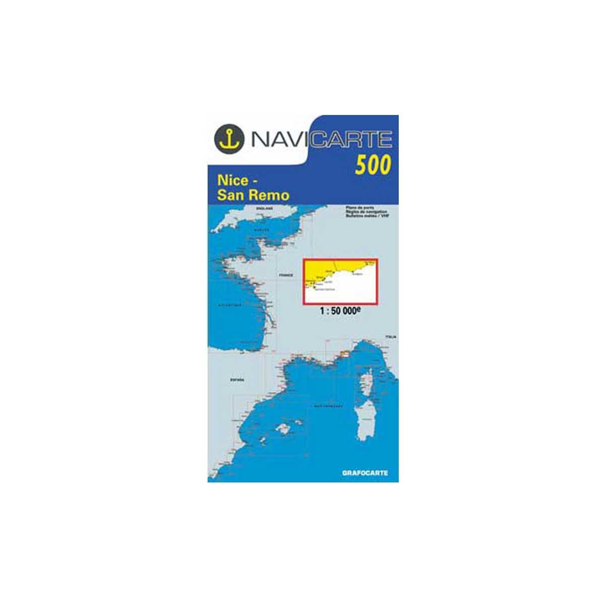
Folded nautical chart - Mediterranean (France)
Ref.
105120500
This Navicarte marine chart focuses on the Mediterranean and more precisely on navigation zone N°500: Nice - San Remo.
- Folded format: 16.5 x 31.5 cm
- Sector/navigation area: N°500 - Nice - San Remo
- Scale: 1:50,000
105120500
Data sheet
- Product type
- Carte de navigation
NAVICARTE - Folded nautical chart - Mediterranean (France)
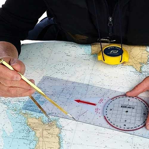
Designed for pleasure boaters and professional sailors, Navicarte charts are used for navigation at sea, particularly in coastal areas.
The charts are regularly updated to reflect changes in navigation conditions. Under an agreement with SHOM (N°89/2013) Navicarte produces compliant charts.
 |
Navicarte chartsNavicarte paper charts generally include the following elements:
Charts are regularly updated to reflect changes in marine and coastal conditions, to keep them in line with current international standards. Comptoir Nautique also offers a selection of chart table instruments for plotting points, routes and course. |
Navicarte navigation zones and scales
| Navicarte N° | Navigation zone | Scale |
| 500 | Nice - San Remo | 1 : 50 000 |
| 501 | Saint Raphaël - Nice - Îles de Lérins | 1 : 50 000 |
| 502 | Cavalaire - Saint Raphaël | 1 : 50 000 |
| 503 | Toulon - Cavalaire - Îles d'Hyères | 1 : 50 000 |
| 504 | Marseille - Toulon - Les Calanques | 1 : 50 000 |
| 505 | Port Saint Louis - Marseille - Étang de Berre | 1 : 50 000 |
| 507 | Port Camargue - Port de Bouc - Martigues | 1 : 100 000 |
| 508 | Sète - Port Camargue | 1 : 50 000 |
| 509 | Valras - Sète - Étang de Thau | 1 : 50 000 |
| 510 | Port Leucate - Valras - Gruissan | 1 : 50 000 |
| 511 | Banyuls - Port Leucate - Port Vendres | 1 : 50 000 |
| R1 | Marseille - San Remo | 1 : 250 000 |
| R2 | Gulf of Genoa | 1 : 350 000 |
| R4 | Gulf of Lion - Marseille - Barcelona | 1 : 500 000 |
| R7 | Western Mediterranean | 1 : 1 000 000 |
Customer Reviews (0)
No customer reviews for the moment.
Sign in to leave a review
Questions / Answers