
Welcome to the world of
SHOM

The French Naval Hydrographic and Oceanographic Service (SHOM) has been a public administrative establishment (EPA) since 2007. It is placed under the authority of the French Ministry of the Armed Forces. It produces reference maritime and coastal geographic information.
Its mission is to understand and describe the physical marine environment in its relations with the atmosphere, the seabed and coastal areas, to forecast its evolution and to ensure the dissemination of the corresponding information.
Filter
23 products
- -€4.55
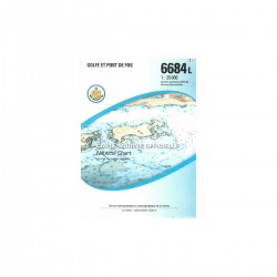
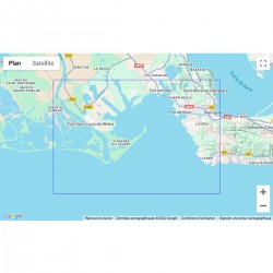
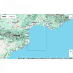
Carte marine pliée SHOM - Méditerranée - Littoral Ouest (Port-Barcarès à Marseille) SHOM
€38.77
-10%
€43.32
- -€4.55
- -€4.55
- -€4.55
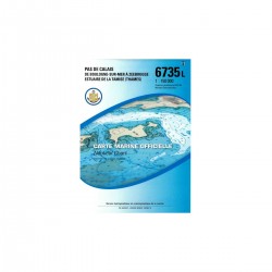
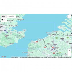
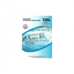
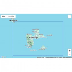
- -€4.55
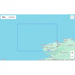
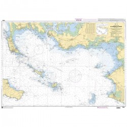
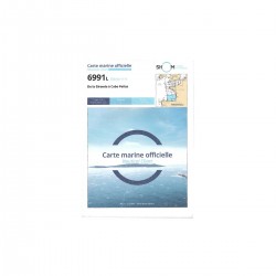
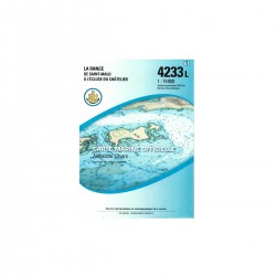
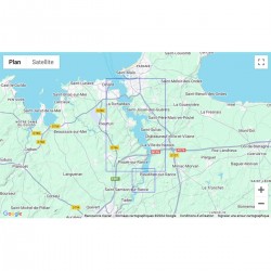
SHOM folded nautical chart - Atlantic / English Channel - North Brittany and Western Channel SHOM
€38.77
-10%
€43.32
- -€4.55
- -€4.55
- -€4.55
- -€4.55
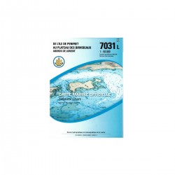
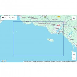
SHOM folded nautical chart - Southern Brittany - Gulf of Morbihan and Quiberon Bay SHOM
€38.77
-10%
€43.32
- -€4.55