• -€25.90
  • Carte C-MAP REVEAL EW-227 Côtes Européennes Nord-Ouest - N°1 - comptoirnautique.com
  • Carte C-MAP REVEAL EW-227 Côtes Européennes Nord-Ouest - N°1 - comptoirnautique.com

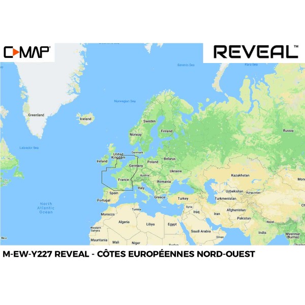
C-MAP REVEAL map EW-227 Northwest European Coasts

Ref. M-EW-Y227-MS

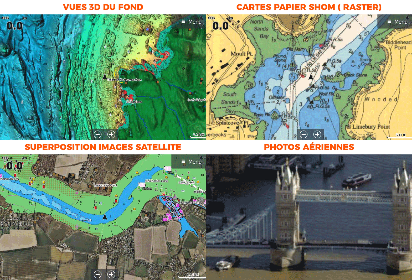
In addition to the classic C-MAP DISCOVER chart features , the REVEAL and REVEAL X versions (for NSX handsets only) will display shaded relief (including 3D seabed imagery), aerial photography , satellite image overlay and dynamic raster chart presentation (similar to SHOM paper charts) on your compatible chartplotter.

➟ C-MAP chart compatibility guide


Read more Features
€212.90 Tax included
Public price
€238.80
-10%
Price tax excl. / DOM TOM €177.42
Model
Quantity
Out of stock soon 😱
By buying this product you can collect up to 212 loyalty points. Your cart will total 212 points that can be converted into a voucher of €2.12.
M-EW-Y227-MS

Data sheet

Range
C-MAP REVEAL, C-MAP REVEAL X
Geographical area
Europe
Product type
Cartography
Description

C-MAP - REVEAL and REVEAL X charts - EW227 - European Northwest Coast

Whether for cruising, fishing or sailing, C-MAP REVEAL and REVEAL X charts offer the best of C-MAP. The REVEAL range is compatible with Simrad, B&G and Lowrance chartplotters (except Hook and Cruise). While the Reveal X range is designed exclusively for Simrad NSX with the new Android-based interface.

Choose your Reveal or Reveal X model according to your tracker.

Consult the compatibility table before you buy


Fonctionnalités communes cartes C-MAP

FEATURES COMMON TO REVEAL AND DISCOVER

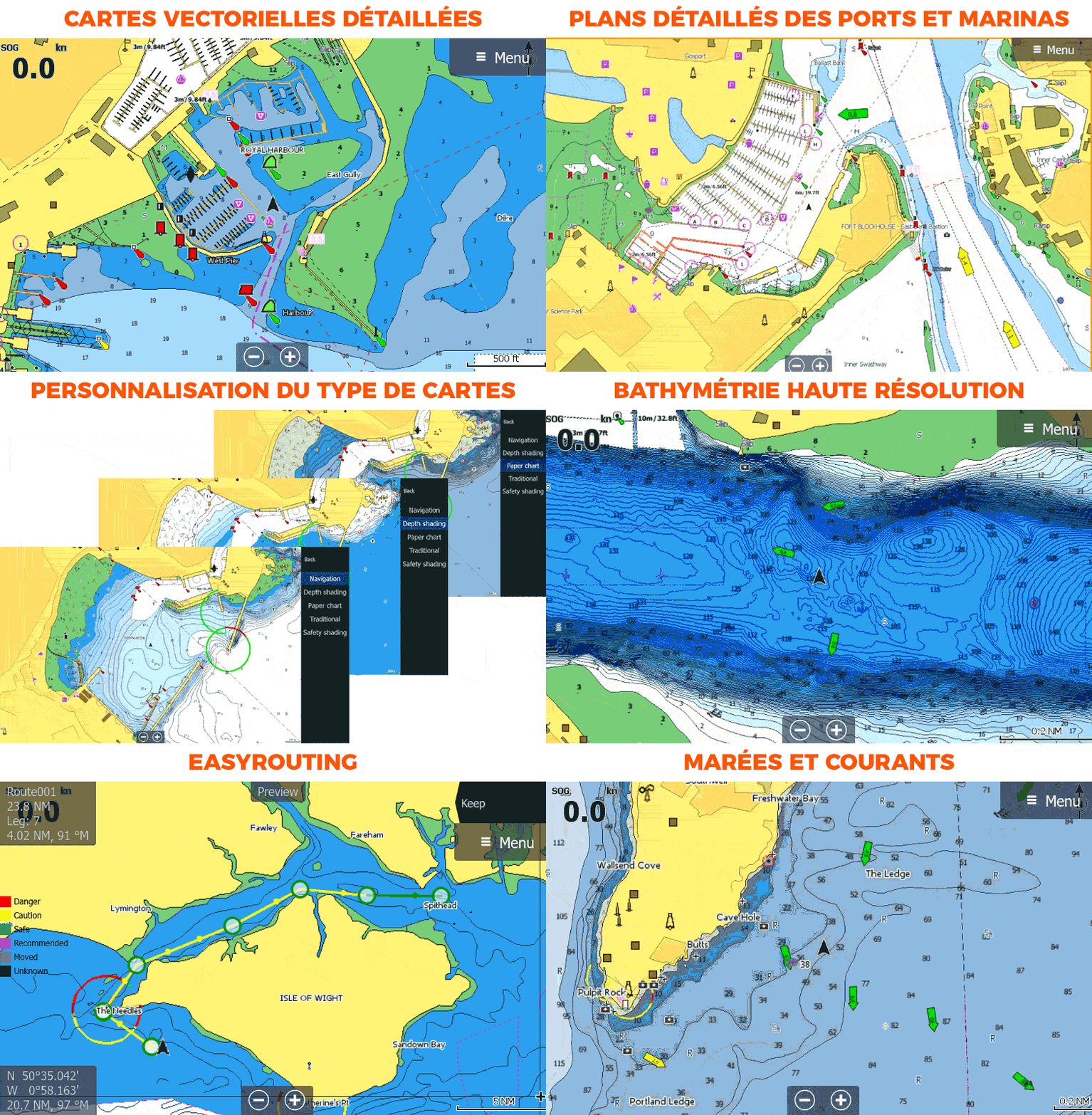
  • COMPLETE MAPPING: Vector maps, including depth, contours, bottom markers, navigation aids, light sectors, wrecks and obstacles, etc.
  • COLOR PALETTE CUSTOMIZATION: Displays a wide range of information, clearly indicating depth and risk levels and identifying rocks, ledges and underwater cliffs.
  • HIGH RESOLUTION BATHYMETRY: High-resolution detail of coastal and offshore features, such as points, falls and ridges, to aid fishermen and navigators.
  • EASY ROUTING: automatically plots the shortest and safest route based on detailed maps and boat information. Take two points and generate a route proposal.
  • TIDES AND CURRENTS: Displays water level, time and direction of tides with tide level graphs, and indicates time, direction and strength of expected current with flow graphs and colored arrows.


Exclusive REVEAL features

Reveal charts feature additional functions in addition to those common to C-MAP Discover.

  • 3D BACKGROUND VIEWS (SHADED RELIEF): Shaded relief presents data with a 3D appearance, easier to interpret than traditional contour lines.
  • SHOM MAPS (RASTER): Dynamic raster maps bring the look and feel of traditional paper maps to the screen.
  • SATELLITE IMAGES: Satellite imagery provides terrain information and enhances environmental perception for coastal navigation.
  • AERIAL PHOTOS: A collection of thousands of photos of marinas, harbors, coves and other navigational features included to provide an extra level of information

Fonctionnalité unique aux C-MAP Reveal


HOW TO CHOOSE YOUR C-MAP?

DISCOVERREVEAL
Detailed vector map
High resolution bathymetry 2.0
Customizable color palette
Multi-language card
Easy Routing
Tides and currents
Detailed maps of ports and marinas
Advanced lake mapping
Protected areas
Free updates - 1 year
Raster maps
Aerial photos
Satellite images
3D background views (relief shading)

MAIN POINTS:

  • Detailed nautical charts
  • Daily updates
  • Compatible Simrad, Lowrance, B&G
  • C-MAP iOS and Android companion app


CONTENTS OF THE BOX :

  • 1 - Reveal Northwest European Coasts chart (or Reveal X depending on model)
  • 1 - micro SD to SD adapter
  • 1 - PDF documentation


Customer Reviews (0)

Questions / Answers

Back to top
Cart
Your cart is empty