- -€14.00
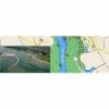
Cartes C-MAP® Max
Ref.
ALM-KNT-M-PC-M211-MS
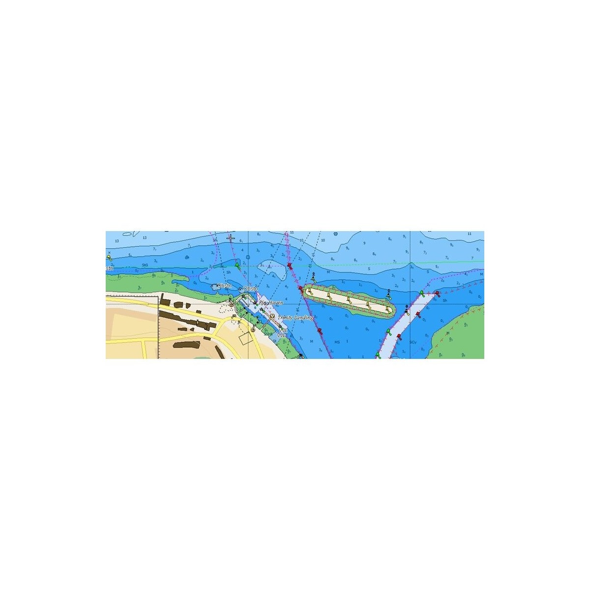
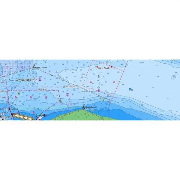
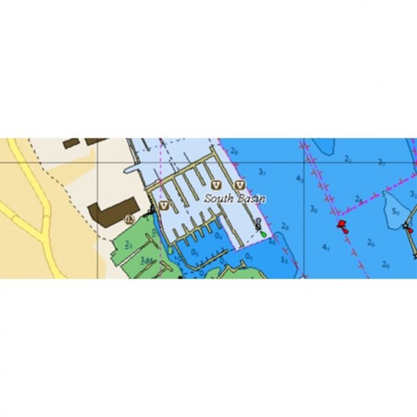
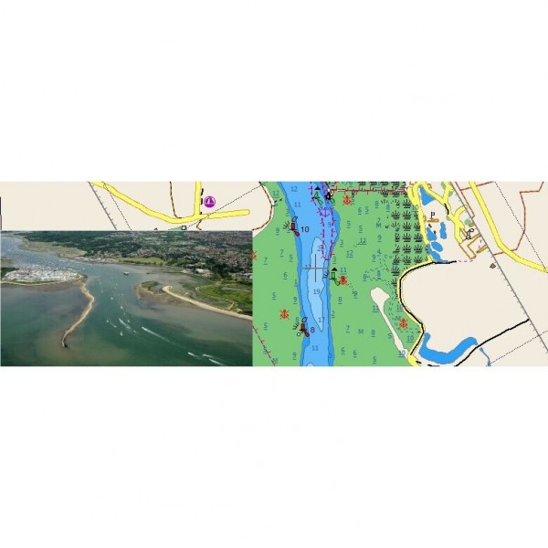
The C-MAP Max marine chart for French Polynesia provides detailed cartographic data for navigation. Designed for C-MAP Max compatible systems, it facilitates route planning and orientation at sea in this region.
ALM-KNT-M-PC-M211-MS
C-MAP - C-MAP Max French Polynesia Chart - Precise Navigation
The C-MAP Max French Polynesia Chart is a cartographic solution dedicated to navigation in the waters of French Polynesia. It provides the necessary information for route planning and orientation at sea, integrating with C-MAP Max compatible systems.
Designed for demanding navigators, this chart ensures a clear representation of maritime areas, depths, and navigation aids specific to the region.
| |
Reliable Marine CartographyThis chart is a tool for coastal and offshore navigation in French Polynesia.
|
| |
KEY POINTS:
|
Customer Reviews (0)
No customer reviews for the moment.
Sign in to leave a review
Questions / Answers