- -€21.88


Cartes C-MAP® Reveal™ X
Ref.
ALM-KNT-M-EM-T-112-R-MS
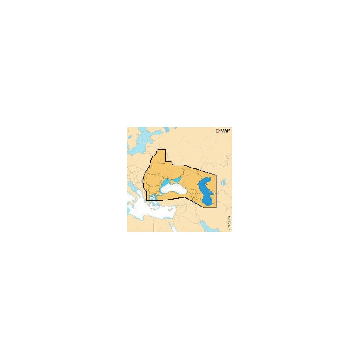
The C-MAP Reveal X chart covers the Black Sea and Caspian Sea, providing detailed cartographic data for navigation. Designed for compatible navigation systems, it offers precise information for route planning and maritime safety. Its compact format facilitates easy installation and equipment updates.
ALM-KNT-M-EM-T-112-R-MS
C-MAP - Reveal X Black Sea & Caspian Sea Chart - Precision for Navigation
The C-MAP Reveal X Chart offers technical characteristics suited to its use. It provides detailed cartography of the Black Sea and Caspian Sea, essential for planning and executing your maritime routes.
Ideal for coastal and offshore navigation in these regions, it ensures reliable operation with compatible navigation systems.
| |
Cartographic Detail and CompatibilityThis chart is designed for simple integration into your on-board equipment.
|
| |
KEY POINTS :
|
Customer Reviews (0)
No customer reviews for the moment.
Sign in to leave a review
Questions / Answers