
• -€17.42
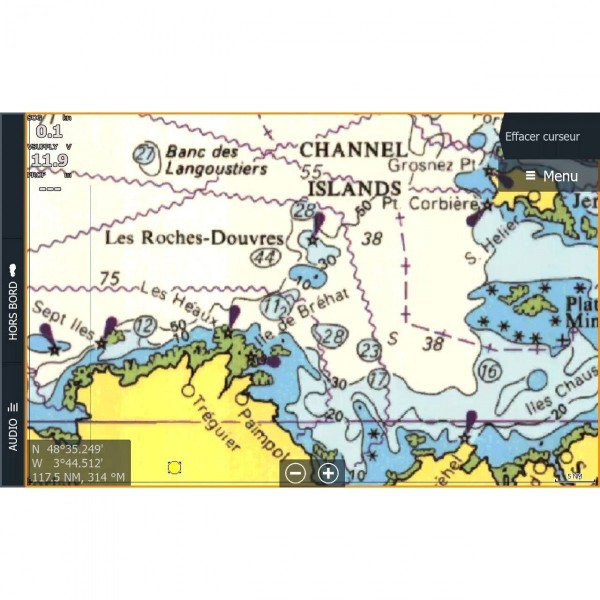
  • Cartes C-MAP® Reveal™ - N°1 - comptoirnautique.com
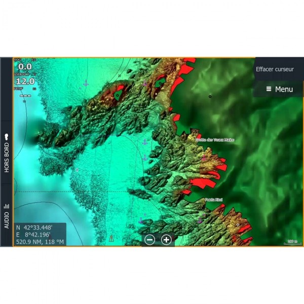
  • Cartes C-MAP® Reveal™ - N°2 - comptoirnautique.com
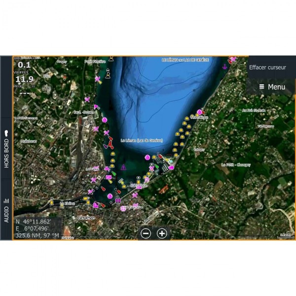
  • Cartes C-MAP® Reveal™ - N°3 - comptoirnautique.com
  • Cartes C-MAP® Reveal™ - N°4 - comptoirnautique.com
  • Cartes C-MAP® Reveal™ - N°5 - comptoirnautique.com
  • Cartes C-MAP® Reveal™ - N°6 - comptoirnautique.com
  • Cartes C-MAP® Reveal™ - N°7 - comptoirnautique.com
  • Cartes C-MAP® Reveal™ - N°8 - comptoirnautique.com
  • Cartes C-MAP® Reveal™ - N°9 - comptoirnautique.com
  • Cartes C-MAP® Reveal™ - N°10 - comptoirnautique.com
  • Cartes C-MAP® Reveal™ - N°11 - comptoirnautique.com
  • Cartes C-MAP® Reveal™ - N°1 - comptoirnautique.com
  • Cartes C-MAP® Reveal™ - N°2 - comptoirnautique.com
  • Cartes C-MAP® Reveal™ - N°3 - comptoirnautique.com
  • Cartes C-MAP® Reveal™ - N°4 - comptoirnautique.com
  • Cartes C-MAP® Reveal™ - N°5 - comptoirnautique.com
  • Cartes C-MAP® Reveal™ - N°6 - comptoirnautique.com
  • Cartes C-MAP® Reveal™ - N°7 - comptoirnautique.com
  • Cartes C-MAP® Reveal™ - N°8 - comptoirnautique.com
  • Cartes C-MAP® Reveal™ - N°9 - comptoirnautique.com
  • Cartes C-MAP® Reveal™ - N°10 - comptoirnautique.com
  • Cartes C-MAP® Reveal™ - N°11 - comptoirnautique.com

Cartes C-MAP® Reveal™

Ref. ALM-KNT-M-RS-Y233-MS

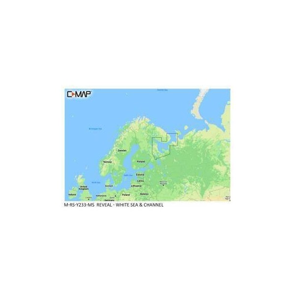
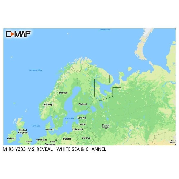
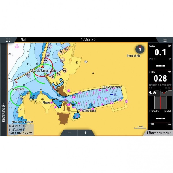
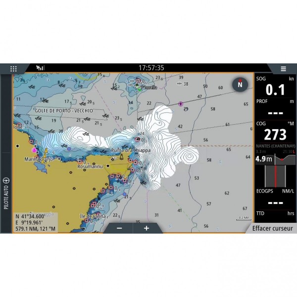
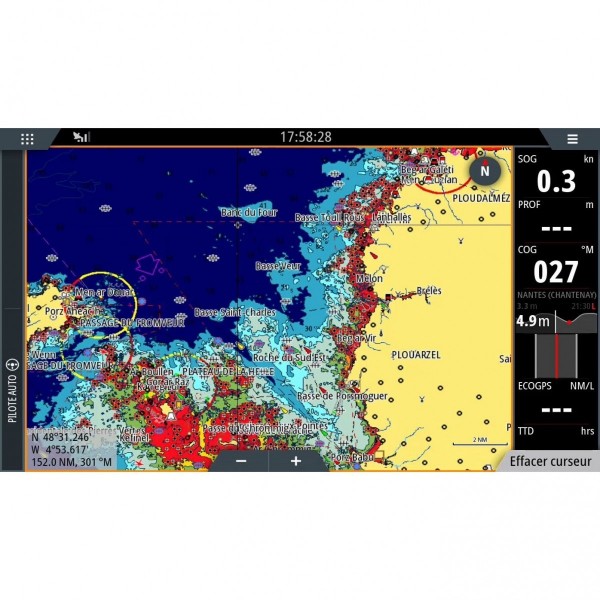
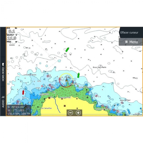
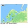
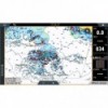
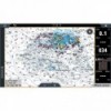
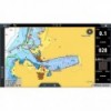
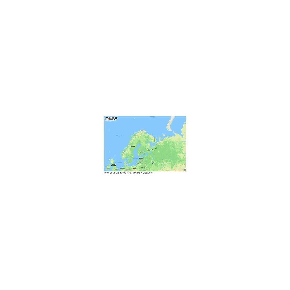
The C-MAP Reveal White Sea & Canal Chart provides detailed marine cartography for coastal and offshore navigation. It integrates precise data for route planning and seabed display. Designed for compatible navigation systems, it facilitates exploration of the specific areas of the White Sea and Canal.

Configuration
Cartes c-map® reveal™ :
Carte C-MAP® Reveal™ Mer Blanche & Canal
€149.08 Tax included
-10%
€166.50
Pay in installments
3x 4x 10x 12x 24x 60x
Quantity
OUT OF STOCK
149 loyalty points Earn €1.49 in rewards
Experts’ advice Contact us from 8 AM to 5 PM
Trustpilot reviews 94% satisfaction based on 3,800 reviews
Reseller Premium
Payment 100% secure
ALM-KNT-M-RS-Y233-MS
Description

C-Map - C-MAP Reveal White Sea & Canal Chart - Detailed Navigation

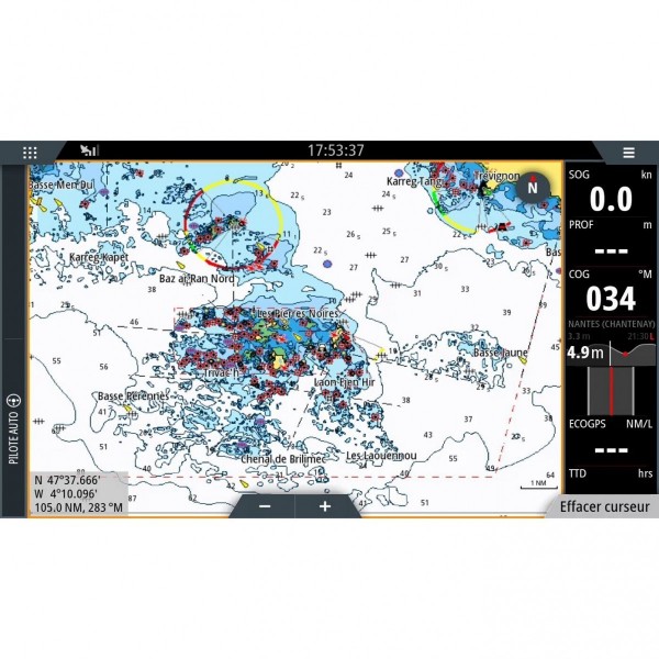
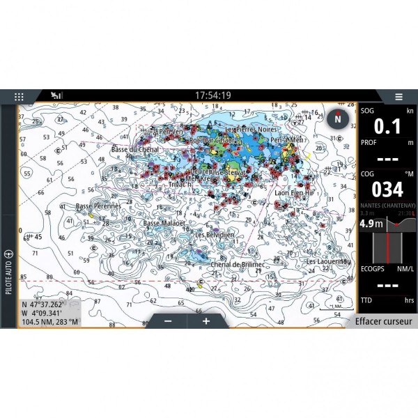
The C-MAP Reveal White Sea & Canal Chart offers technical features adapted to its use. It provides enriched marine cartography for demanding navigators, specifically covering the White Sea and Canal. This chart is designed to display precise information on depths, navigation aids, and coastal contours.

Ideal for route planning and real-time monitoring, it ensures reliable operation on compatible plotters. Its design allows for seamless integration with on-board electronic equipment, offering a clear visualization of essential data for safe navigation.


Precision and Reliability for Navigation

This C-MAP Reveal chart is developed to meet the needs of sailors seeking reliable and detailed cartographic information.

  • Performance: Provides precise cartographic data for the White Sea and Canal.
  • Design: Compatible format for electronic chart readers.
  • Specificity: Targeted geographical coverage for optimized navigation in the area.

MAIN POINTS:

  • Detailed marine cartography for the White Sea and Canal.
  • Compatible with electronic navigation systems.

Customer Reviews (0)

No customer reviews for the moment. Sign in to leave a review

Questions / Answers
Back to top