- -€14.24


Bluechart G3 Regular card HXEU001R
Ref.
HXEU001R
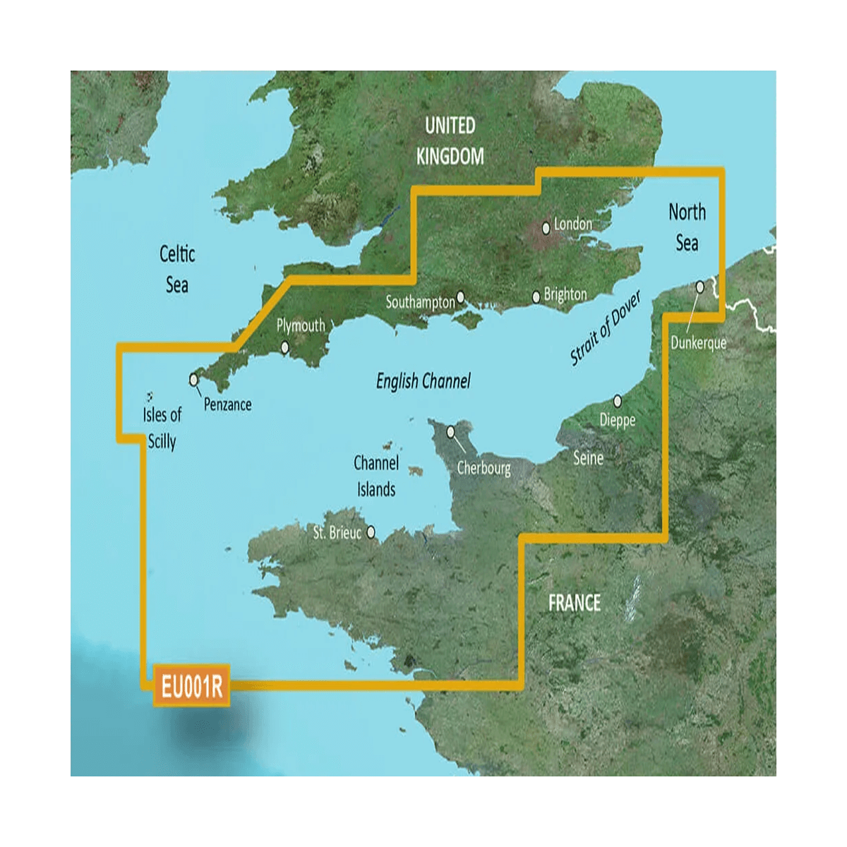
HXEU001R - The English Channel
Explore new horizons with Garmin maps, an exceptional level of detail close to that of paper maps, combined with the multiple functions of Bluechart G3 for a clean, perfectly legible result.
HXEU001R
Data sheet
- Range
- BlueChart G3
- Card size
- Regular (R)
- Support
- SD / Micro SD
- Geographical area
- Europe
- Geographic sub-zone
- Handle
- Product type
- Cartography
GARMIN - HXEU001R - New horizons
Enjoy all the classic information such as buoyage, light sectors, restricted areas, depth lines, sounding points and wrecks. You'll also benefit from detailed fishing charts, with bathymetric curves displayed every 2 meters, and a new autoguiding function.
Finally, information on tides (times and cycles) and currents is integrated, helping you to better apprehend the marine environment with its constraints.
Some functions:
- Self-guidance
- Foreshore zones
- Port maps
- Sounding points
- Tide stations
- Fire zones
- Port services
- Wrecks and obstacles
- Current information
- Detailed fishing maps
- Restricted access and anchorage zones
- Coloration of depth zones and shoals
Customer Reviews (0)
No customer reviews for the moment.
Sign in to leave a review
Questions / Answers (1)
Is the Bluechart G3 card-compatible with the Gps Helix 5 G2 CP HUMMINBIRD? Thank you in advance for your reply. Stéphane
Stéphane DUCROCQ , the 02/06/2024
Hello, no, for a Humminbird Helix G2, you will have to turn to Navionics cards. Click here to see the card compatibility guide Navionics / device
See our boards Navionics => https://en.comptoirnautique.com/267-cartography-navionics
Comptoir Nautique Team