- -€20.91


Bluechart G3 Regular HXCA600X card
Ref.
HXCA600X
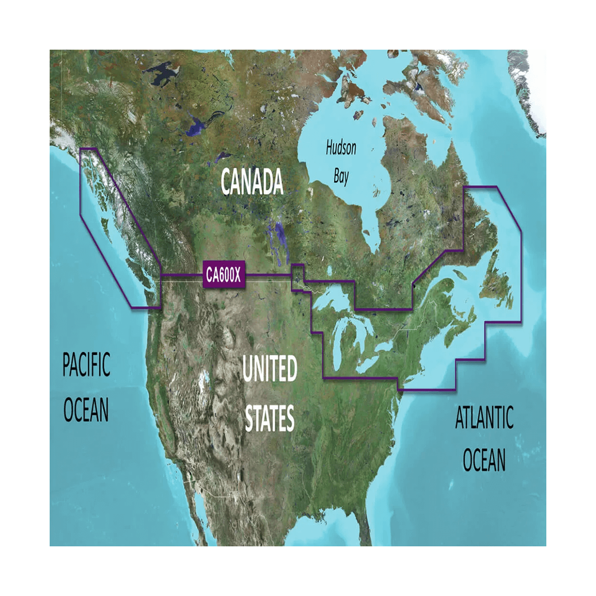
HXCA600X - Canada
Explore new horizons with Garmin cartography, an exceptional level of detail close to paper cartography combined with the multiple functions of Bluechart G3 for a clean, perfectly legible result.
HXCA600X
Data sheet
- Range
- BlueChart G3
- Card size
- Extra Large (XL)
- Support
- SD / Micro SD
- Geographical area
- America
- Geographic sub-zone
- Atlantic, Inland Water
- Product type
- Cartography
GARMIN - HXCA600X - NEW HORIZONS
Explore new horizons with Garmin maps, an exceptional level of detail close to that of paper maps, combined with the multiple functions of Bluechart G3 for a clean, perfectly legible result.
Enjoy all the classic information such as buoyage, light sectors, restricted areas, depth lines, sounding points and wrecks. You'll also benefit from detailed fishing charts, with bathymetric curves displayed every 2 meters.
Last but not least, information on tides (times and cycles) and currents is integrated to help you better understand the marine environment and its constraints.
Some functions:
- Foreshore zones
- Port maps
- Sounding points
- Tide stations
- Fire areas
- Port services
- Navigation aids
- Wrecks and obstacles
- Current information
- Depth contours
- Detailed fishing charts
- Regulated access and anchorage zones
Customer Reviews (0)
No customer reviews for the moment.
Sign in to leave a review
Questions / Answers