- -€13.41


Navionics+
Ref.
ALM-KNT-010-C1347-30
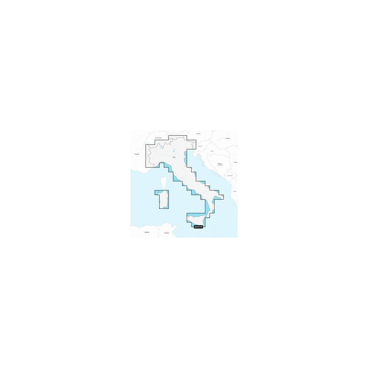
The Navionics Italy, Lakes & Rivers chart provides detailed navigation data for Italy's inland and coastal waters. Designed for recreational boating and navigation, it ensures accurate representation of seabed and navigation aids.
ALM-KNT-010-C1347-30
Navionics - Italy, Lakes & Rivers - Detailed Charting for Navigation
The Navionics Italy, Lakes & Rivers chart provides essential data for navigation in Italy, covering lakes, rivers, and coastal areas. This tool is designed for demanding boaters and navigators, offering a clear and precise representation of marine information.
Ideal for route planning and real-time navigation, it ensures reliable operation for a better understanding of your nautical environment.
| |
Precision and ReliabilityThis charting is a key element for safe and informed navigation.
|
| |
KEY POINTS:
|
Customer Reviews (0)
No customer reviews for the moment.
Sign in to leave a review
Questions / Answers