- -€30.08


Platinium+
Ref.
ALM-KNT-010-C1350-40
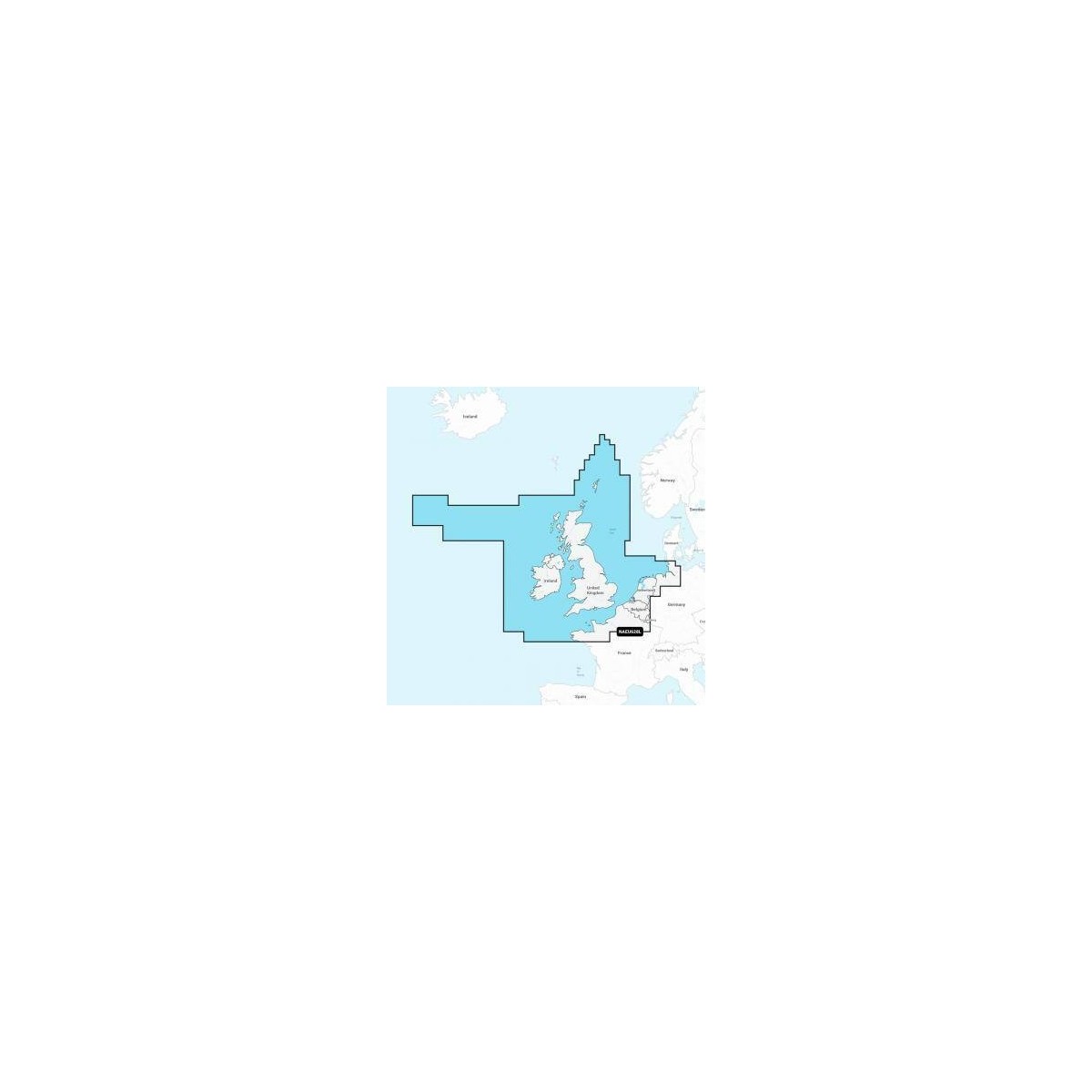
Navionics Platinium+ chart covering the U.K., Ireland, and Holland. This electronic chart provides detailed navigation data for recreational and professional boating. Designed for seamless integration with compatible systems, it ensures clear display of essential maritime information.
ALM-KNT-010-C1350-40
Navionics - Chartography U.K., Ireland & Holland - Detailed Marine Chartography
The Navionics U.K., Ireland & Holland chart provides precise navigation data for the waters of the United Kingdom, Ireland, and the Netherlands. Designed for compatible Navionics Platinium+ systems, it delivers essential information for planning and executing your maritime routes.
Ideal for coastal and offshore navigation in these regions, it ensures a clear and reliable display of seafloor, navigation aids, and regulated areas.
| |
Precision and Reliability for NavigationThis electronic chart is a reliable navigation tool, designed for integration with compatible onboard equipment.
|
| |
KEY POINTS :
|
Customer Reviews (0)
No customer reviews for the moment.
Sign in to leave a review
Questions / Answers