
- -€13.25
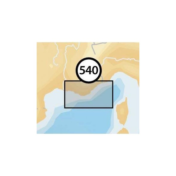
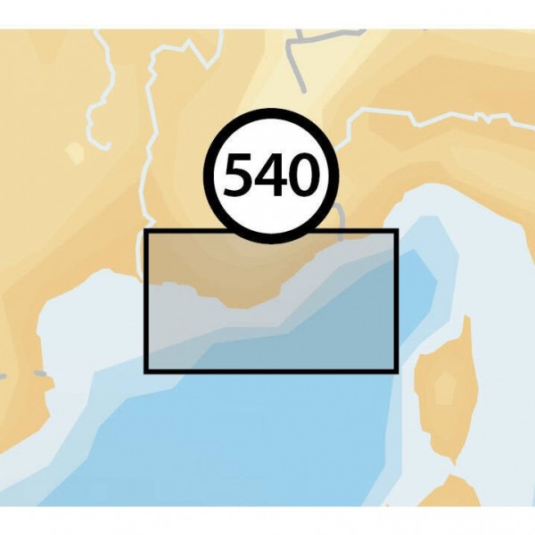
ALASSIO-PT ST-LOUIS
Ref.
ALM-KNT-MSD-5G540S2
The Navionics Alassio-pt St-louis chart provides detailed navigation data for boaters. Designed for use with compatible Navionics+ systems, it ensures accurate representation of seabed, navigation aids, and port information. A reliable tool for planning and executing your maritime routes.
ALM-KNT-MSD-5G540S2
Navionics - Alassio-pt St-louis Chart - Navigation Precision
The Navionics Alassio-pt St-louis chart provides marine geographical data for compatible navigation systems. It allows for clear visualization of depths, buoyage, and port infrastructures, thereby facilitating route planning and tracking.
Ideal for coastal and offshore navigation, it ensures reliable cartographic information for informed decision-making on board.
| |
Reliability and CompatibilityThis chart is designed to integrate with Navionics+ equipment, ensuring optimized updates and usage.
|
| |
MAIN POINTS :
|
Customer Reviews (0)
No customer reviews for the moment.
Sign in to leave a review
Questions / Answers