- -€13.25
JERSEY-LE TREPORT
Ref.
ALM-KNT-MSD-5G557S2
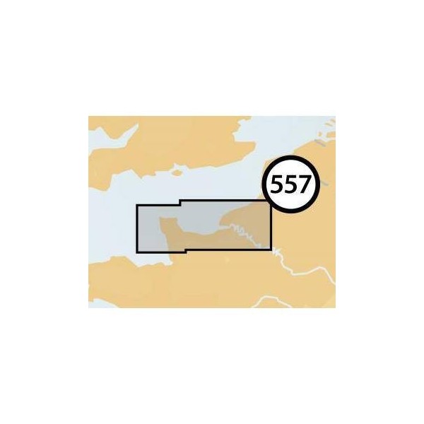
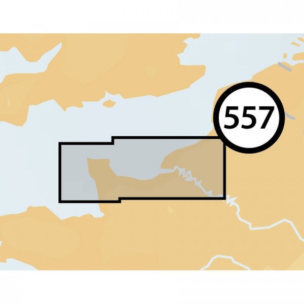
This Navionics+ chart covers the Jersey and Le Tréport area. It provides detailed data for coastal and offshore navigation, including soundings, depth contours, navigation aids, and port information. It is designed for easy integration with compatible chartplotters.
ALM-KNT-MSD-5G557S2
Navionics - Chartography Jersey-le Treport - Precision for navigation
The Navionics+ chartography for the Jersey and Le Tréport area offers precise cartographic data for navigators. It integrates information for route planning and sea navigation, covering seabed details, buoyage, and port infrastructures.
Ideal for coastal and offshore navigation in this region, it ensures a clear visualization of marine elements for a better understanding of the environment.
| |
Detailed cartographic dataThis chartography is designed to provide an accurate representation of maritime areas.
|
| |
KEY POINTS:
|
Customer Reviews (0)
No customer reviews for the moment.
Sign in to leave a review
Questions / Answers