- -€13.25
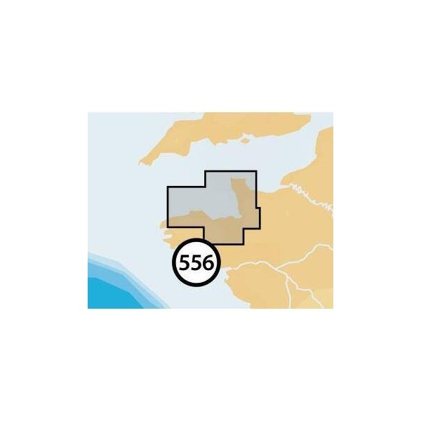
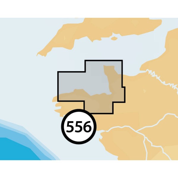
ILE DE BATZ-CARENTAN
Ref.
ALM-KNT-MSD-5G556S2
The Navionics+ chart "Ile De Batz-carentan" provides detailed navigation data for the specified coastal areas. Designed for integration with compatible navigation systems, it offers precise information for route planning and maritime safety. This chart medium is a tool for navigation.
ALM-KNT-MSD-5G556S2
Navionics - Chart Ile De Batz-carentan - Precision for coastal navigation
The Navionics+ chart "Ile De Batz-carentan" offers technical data suitable for navigation. It provides cartographic information for planning and executing maritime routes.
Ideal for coastal and offshore navigation within the covered area, it ensures reliable support for compatible navigation systems.
| |
Reliable chart dataThis chart is designed to provide a stable and accurate database for navigators.
|
| |
KEY POINTS :
|
Customer Reviews (0)
No customer reviews for the moment.
Sign in to leave a review
Questions / Answers