- -€13.25
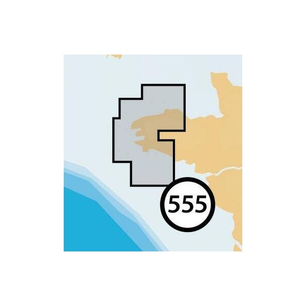
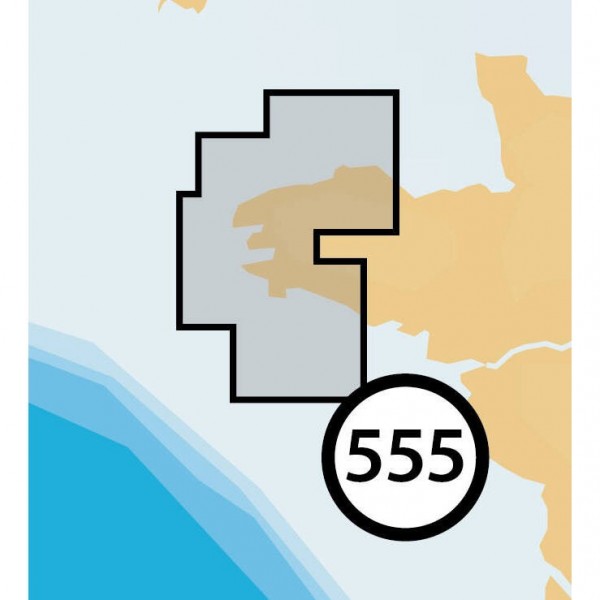
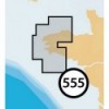
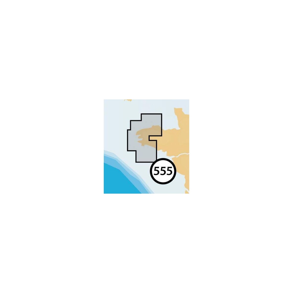
LORIENT - PAIMPOL
Ref.
ALM-KNT-MSD-5G555S2
The Navionics+ Lorient - Paimpol chart provides detailed cartographic data for coastal and offshore navigation. Designed for compatible plotters, it ensures accurate representation of seabed, navigation aids, and port information. Ideal for route planning and maritime safety.
ALM-KNT-MSD-5G555S2
Navionics - Lorient - Paimpol - Detailed Marine Cartography
The Navionics+ Lorient - Paimpol chart is a digital cartographic solution for boaters navigating this area. It provides precise data for coastal and offshore navigation, including information necessary for route planning and maritime safety.
Ideal for compatible plotters, it ensures a reliable representation of seabed, navigation aids, and port details.
| |
Precision and Reliability for NavigationThis chart is designed to offer reliable marine cartography, essential for safe and efficient navigation.
|
| |
KEY POINTS :
|
Customer Reviews (0)
No customer reviews for the moment.
Sign in to leave a review
Questions / Answers