- -€13.25
ARCACHON - PENERF
Ref.
ALM-KNT-MSD-5G553S2
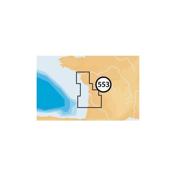
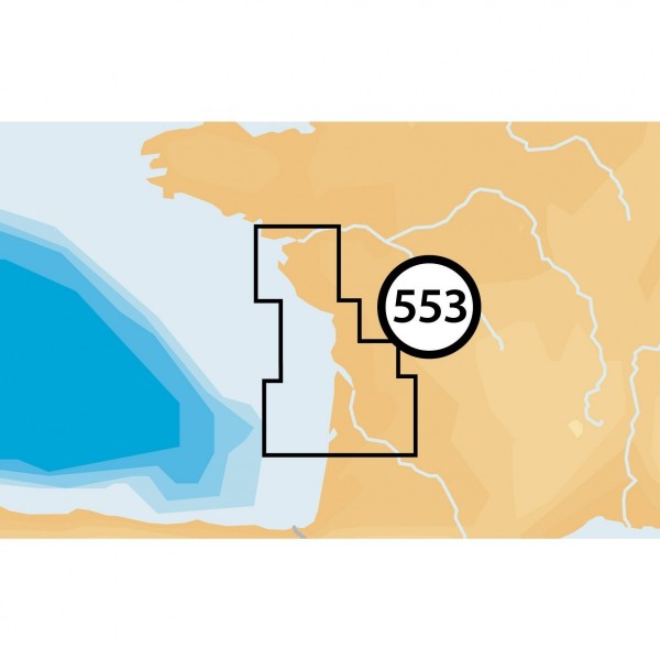
The Navionics Arcachon - Penerf chart provides detailed coverage for navigation. Designed for demanding boaters, it supplies the necessary data for planning and executing maritime routes in this specific area. A reliable tool for both coastal and offshore navigation.
ALM-KNT-MSD-5G553S2
Navionics - Arcachon - Penerf - Detailed Marine Chart
The Navionics Arcachon - Penerf chart provides precise coverage of the maritime areas between Arcachon and Penerf. Specifically designed for recreational boating, it integrates essential cartographic information for safe and efficient navigation. This tool is suitable for the demands of coastal and offshore navigators.
Ideal for route planning and real-time navigation, it ensures reliable operation with compatible systems.
| |
Precision and Geographic CoverageThis chart serves as a navigation aid, offering an accurate representation of seabed features and navigation marks.
|
| |
KEY POINTS:
|
Customer Reviews (0)
No customer reviews for the moment.
Sign in to leave a review
Questions / Answers