- -€13.25
BILBAO - OLONNE
Ref.
ALM-KNT-MSD-5G552S2
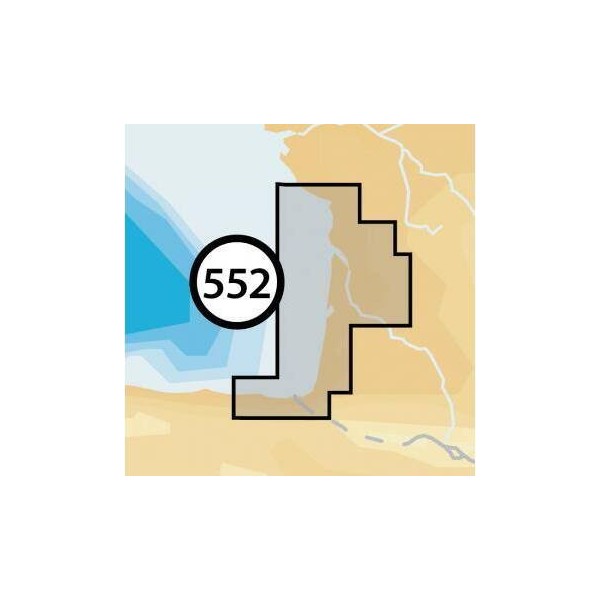
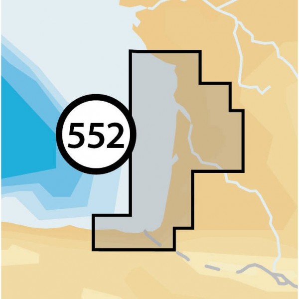
The Navionics Bilbao - Olonne chart provides detailed coverage for coastal and offshore navigation. Designed for compatible navigation systems, it delivers precise data for route planning and maritime safety. A reliable tool for demanding boaters.
ALM-KNT-MSD-5G552S2
Navionics - Bilbao - Olonne - Detailed Marine Chart
The Navionics Bilbao - Olonne chart provides precise marine data for the area from Bilbao to Olonne. This physical medium, weighing 0.09 kg and measuring 17.0 mm in length, 12.0 mm in width, and 1.5 mm in height, is designed for easy integration into compatible chartplotters.
Ideal for route planning and sea navigation, it ensures reliable operation for boaters sailing this section of the Atlantic coast.
| |
Precision and CompatibilityThis chart is a reliable navigation tool, designed to meet the demands of mariners. Its compact format facilitates installation.
|
| |
KEY POINTS :
|
Customer Reviews (0)
No customer reviews for the moment.
Sign in to leave a review
Questions / Answers