- -€13.25
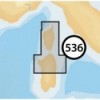
CORSE - N. SARDEGNA
Ref.
ALM-KNT-MSD-5G536S2
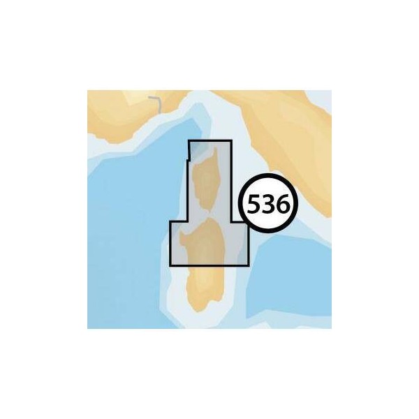
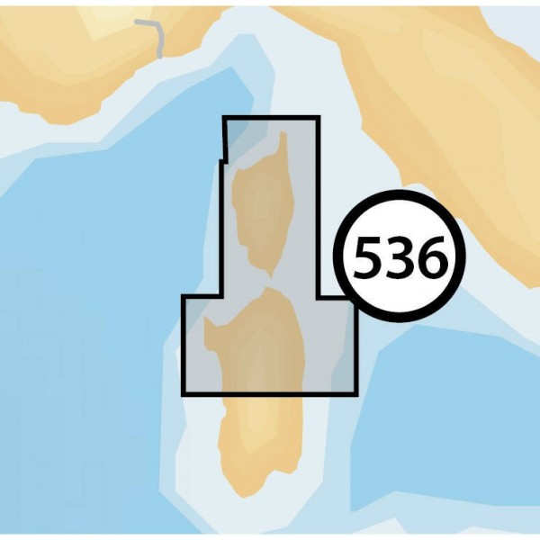
This Navionics chart covers the Corsica region and northern Sardinia. It provides detailed data for coastal and offshore navigation, including depths, navigation aids, and coastline contours. Designed for seamless integration with compatible plotters, it offers clear visualization of essential marine information. Ideal for route planning and maritime safety.
ALM-KNT-MSD-5G536S2
Navionics - Corsica - N. Sardinia - Detailed Marine Chart
The Navionics Corsica - N. Sardinia offers technical features adapted to its use. This digital chart provides precise and up-to-date information for navigation in the waters of Corsica and northern Sardinia, including bathymetric details, beacons, regulated areas, and ports.
Ideal for route planning and real-time navigation, it ensures reliable operation on compatible devices, allowing clear reading of marine data.
| |
Precision and Reliability for NavigationDesigned to meet the demands of navigators, this chart ensures a faithful representation of the marine environment.
|
| |
MAIN POINTS :
|
Customer Reviews (0)
No customer reviews for the moment.
Sign in to leave a review
Questions / Answers