- -€13.25
FRANCE INLAND-LEMAN
Ref.
ALM-KNT-MSD-5G538S2
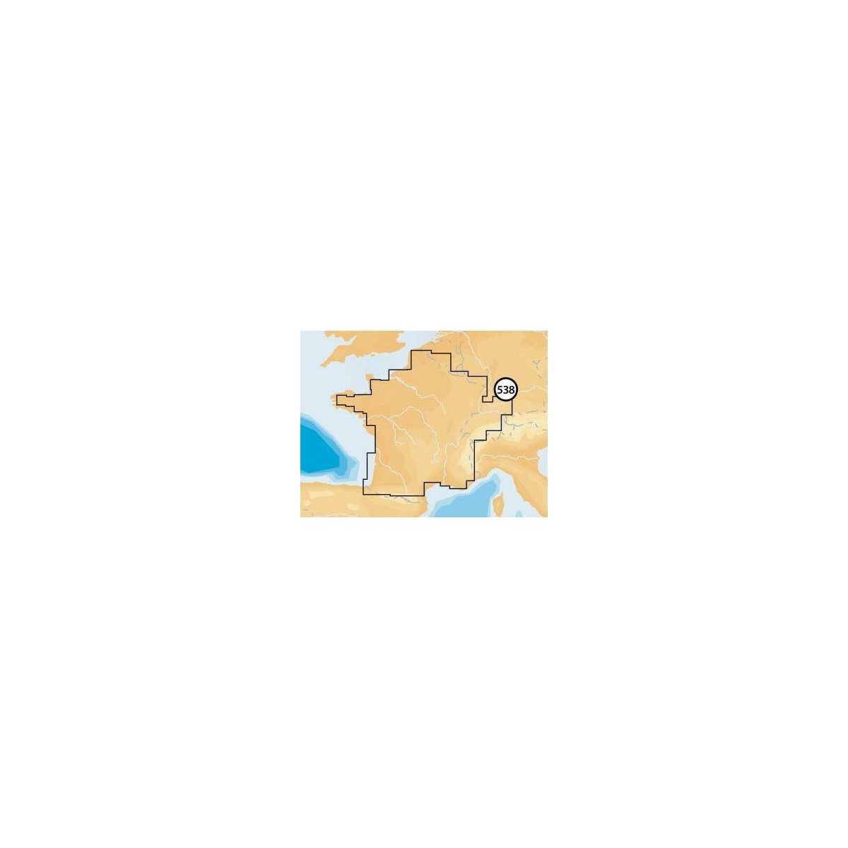
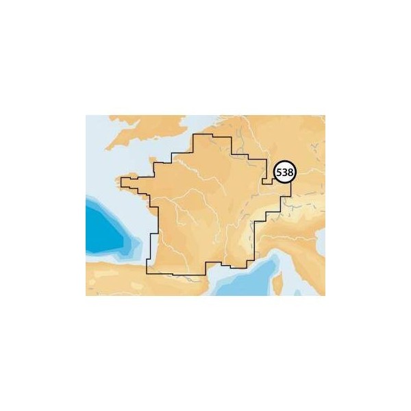
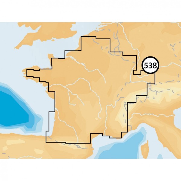
The Navionics+ France Inland-leman chart provides detailed data for navigation on French inland waters and Lake Geneva. Designed for compatible navigation systems, it ensures accurate representation of seabed, navigation aids, and hazard areas.
ALM-KNT-MSD-5G538S2
Navionics - France Inland-leman - Detailed Cartography
The Navionics France Inland-leman offers technical features suited for river and lake navigation. This digital cartography provides an accurate representation of French inland waterways and Lake Geneva, including depths, buoyage, and port information.
Ideal for route planning and real-time navigation in these areas, it ensures reliable operation for recreational boaters and professionals.
| |
Precision and Reliability for Inland WatersThis cartography is designed for seamless integration with compatible plotters, offering clear visualization of essential data.
|
| |
KEY POINTS:
|
Customer Reviews (0)
No customer reviews for the moment.
Sign in to leave a review
Questions / Answers