- -€30.75
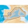
MEDITERRANEAN WEST
Ref.
ALM-KNT-MSD-32P+
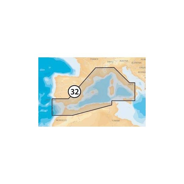
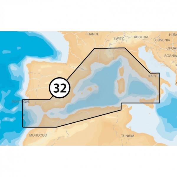
The Navionics Mediterranean West chart provides a detailed representation of marine areas. Designed for compatible navigation systems, it offers precise information on depths, navigation aids, and coastal contours. A reliable tool for planning and executing your sea routes.
ALM-KNT-MSD-32P+
Navionics - Mediterranean West - Detailed Marine Charting
The Navionics Mediterranean West is a digital chart designed for coastal and offshore navigation. It integrates precise data for in-depth knowledge of marine areas, including depths, buoyage, and coastline contours. This tool is suitable for demanding boaters.
Ideal for route planning and real-time navigation, it ensures reliable operation on compatible devices.
| |
Precision and Reliability for NavigationThis chart is developed to provide decision support at sea.
|
| |
KEY POINTS :
|
Customer Reviews (0)
No customer reviews for the moment.
Sign in to leave a review
Questions / Answers