- -€165.92


☀️ PROMO SUMMER


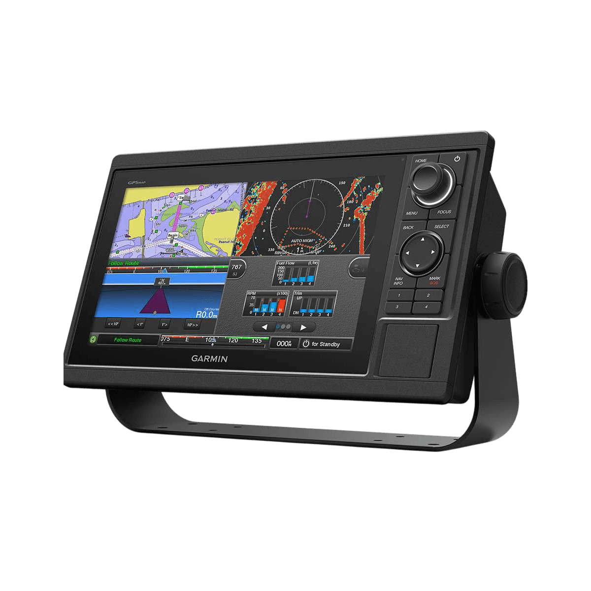
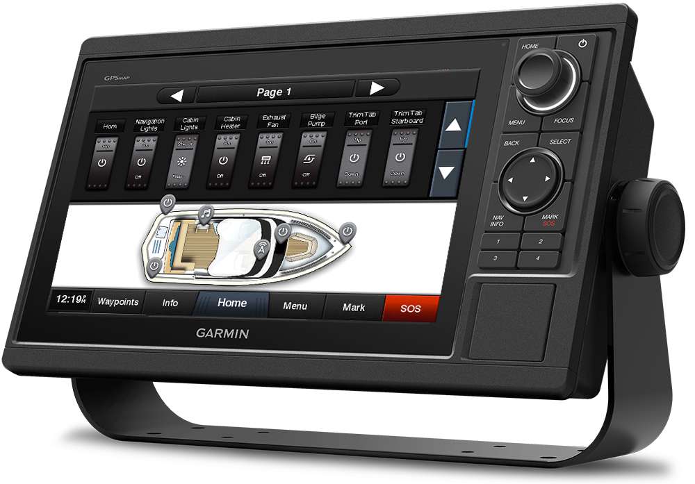
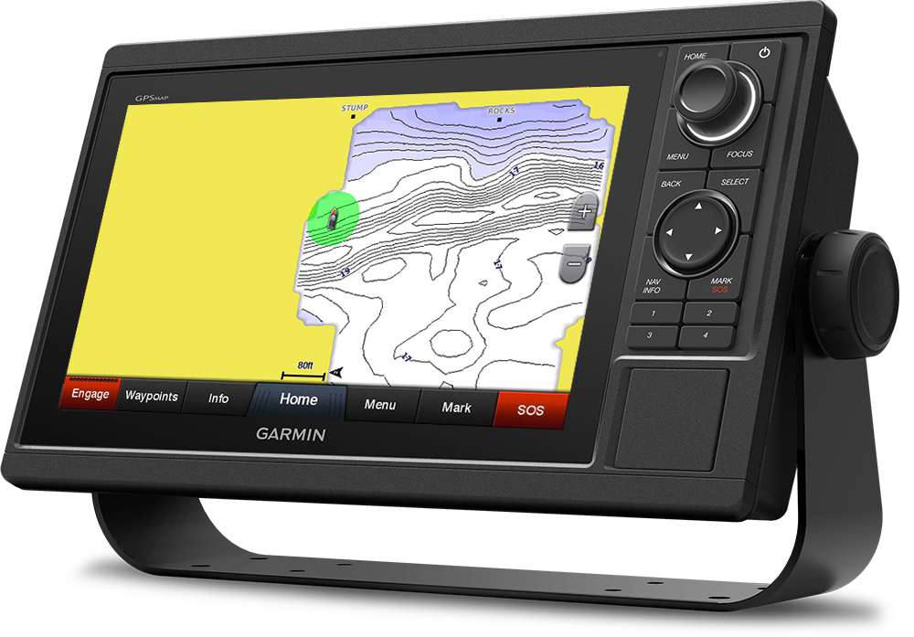
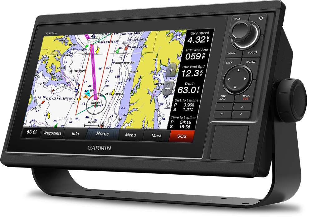
The GPSMAP 1022 from Garmin is a GPS chartplotter with a network-compatible 10" multifunction keyboard and rotary knob for your onboard system. This complete, high-performance unit can be used both as a chartplotter and as a boat information center.
Data sheet
The GPSMAP 1022 is the ideal partner for sea trips, thanks to its compatibility with BlueChart G3 Vision marine charts. It features a 10" display and a keypad that can be integrated into all your boat's electronics.
This GPS sensor is very fast and extremely responsive: it updates your heading and position 10 times a second to ensure the smoothest possible screen display. You can also mark up to 5,000 waypoints quickly and easily.
|
|
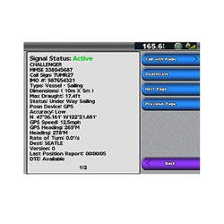
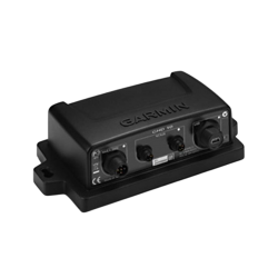
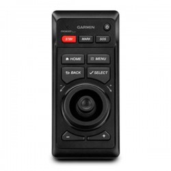
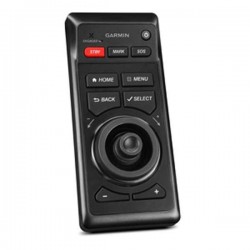
GARMIN NETWORK AND NMEA 2000You can integrate the GPSMAP 1022 with all your boat's electronics. Access to radar, autopilot and various sensor functions. It can also support FLIR cameras, the Garmin GRID keyboard, the FUSION-Link audio system, broadcasting from a VIRB camera... It lets you share data between all network-compatible devices. |
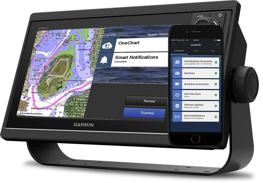
THE BEST MAPSGPSMAP 1022 offers you the best maps: BlueChart g3 or BlueChart g3 Vision. These maps include all Navionics data, autoguiding technology and many other options. Use a microSD card (max. 32 GB) to store all your maps. Thanks to built-in Wi-Fi, pair your device with the free ActiveCaptain app and access OneChart to update, buy or download new maps. |
 |
 |
QUICKDRAW FUNCTIONQuickdraw Contours software creates HD fishing maps in real time. It's now possible to create your own maps without any special knowledge. With the GPSMAP 1022, you can store the equivalent of 8,000 km² of Quickdraw Contours maps, with bathymetric curves displayed every 30 cm. Download maps or share your own by connecting via WI-FI to the free ActiveCaptain application. Receive on-screen notifications of new echosounder updates via the app. |
SAILASSIST FUNCTIONTo help you sail with the wind, Garmin GPSMAP 1022 includes a pre-race guidance page. You'll be able to display the virtual starting line of a regatta, as well as several data fields such as: laylines, pre-start countdown and countdown timer. The latter can be synchronized with all Garmin products thanks to its network connectivity. This device has many other functions to assist you in your sailing, such as optimized compass rose, tracked course, course and drift, and true and apparent wind data fields. |
 |
MAIN FEATURES :
|
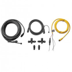
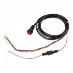
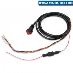
BOX CONTENTS :
|
Accessories
Customer Reviews (0)
Questions / Answers