- -€3.72


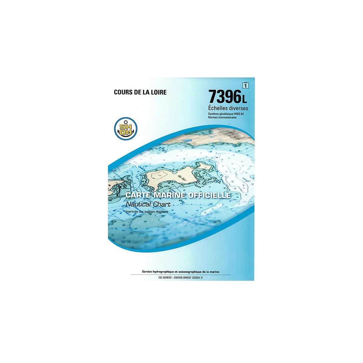
SHOM folded nautical chart - Atlantique - Loire Estuary and Vendée
Ref.
1037396
This SHOM marine chart is designed for navigation on the Loire. It focuses on navigation zone 7396L: Cours de la Loire.
SHOM paper charts comply with SOLAS regulations.
- Chart folded to A4 format: 21 x 29.7 cm / unfolded to A0 format: 84 x 119 cm
- Sector / navigation area: 7396L - Cours de la Loire
- Scale: various scales
- Unit of measurement: meter
1037396
Data sheet
- Product type
- Carte de navigation, River map
SHOM - Folded nautical chart SHOM - Atlantique - Loire Estuary and Vendée
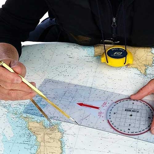
Designed for pleasure boaters and professional sailors, the paper folded nautical charts produced by SHOM (Service hydrographique et océanographique de la Marine) provide essential information for maritime navigation.
As well as being resistant to the damp environment, the special paper allows you to write down personal navigation data (plot point, course, etc.).
 |
SHOM marine chartsSHOM paper charts generally include the following elements:
Charts are regularly updated to reflect changes in marine and coastal conditions, to keep them in line with current international standards. Comptoir Nautique also offers a selection of chart table instruments for plotting points, routes or course. |
SHOM navigation zones and chart scales
Customer Reviews (0)
No customer reviews for the moment.
Sign in to leave a review
Questions / Answers