- -€13.41
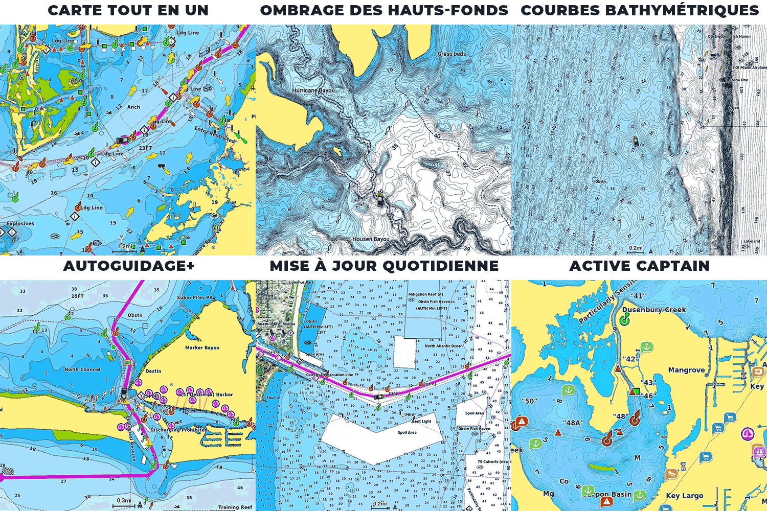
Garmin Navionics + charts are designed for sea or inland waters, and give your chartplotter a whole new look. This all-in-one solution offers integrated mapping rich in detail, isobaths every 50 cm, and advanced functions such as automatic route creation with Auto-Guidance+ technology.
Garmin and Navionics also offer, with the purchase of a map, access to daily updates via Garmin ActiveCaptain App & Garmin Express software for 12 months (renewable after 12 months via subscription).
NB: Garmin Navionics + cards are compatible with most Garmin trackers. To be sure of compatibility, please refer to the tracker compatibility guide (download).
Read more FeaturesData sheet
- Range
- Garmin Navionics+
- Geographical area
- Europe
- Product type
- Cartography
GARMIN - GARMIN NAVIONICS+ CARTOGRAPHY - GEOGRAPHIC AREA WESTERN EUROPE
On the water, it's essential to know your route and have maps you can rely on. Seamlessly combining marine and lake chart content, this all-in-one solution offers clear, reliable mapping for the widest range of chartplotter brands.
Garmin Navionics + maps are available on micro SD/SD memory cards for easy installation on your compatible marine device.
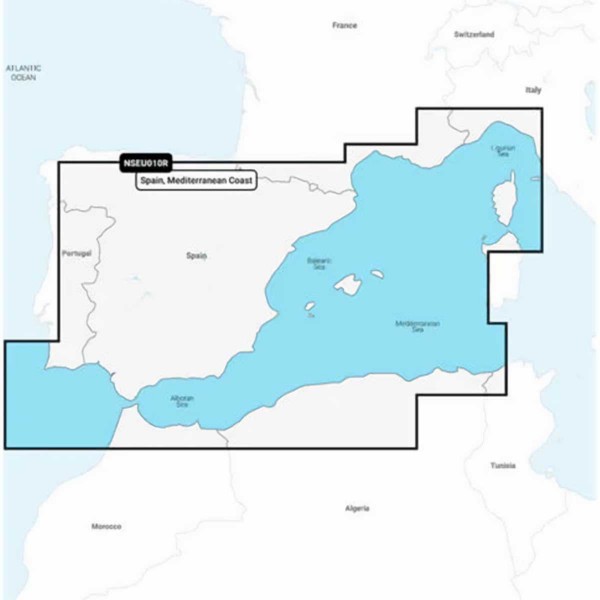
Choose from a range of regions covering the geographical area of Western Europe, including Spain, Portugal, the Mediterranean Sea or the Bay of Biscay in the Garmin Navionics + range . You can download the exact coverage of each chart below.
|
|
GARMIN NAVIONICS+ MAP FEATURES
|
INTRODUCTION TO THE GARMIN NAVIONICS+ MAPPING RANGE
HOW TO CHOOSE YOUR GARMIN NAVIONICS+ MAP?
| GARMIN NAVIONICS+ | GARMIN NAVIONICS VISION+ | |
|---|---|---|
| Nautical chart | ✅ | ✅ |
| Coastal water content | ✅ | ✅ |
| Inland water content | 42,000 lakes | 42,000 lakes |
| Detailed nautical content | ✅ | ✅ |
| Bathymetric curves (up to 0.5m) | ✅ | ✅ |
| Unlimited updates | ✅ (via ActiveCaptain) | ✅(via ActiveCaptain) |
| Autoguide+ technologies | ✅ | ✅ |
| ActiveCaptain application support | ✅ | ✅ |
| ActiveCaptain community | ✅ | ✅ |
| Depth shading | ✅ | ✅ |
| Shallow shading | ✅ | ✅ |
| Relief shading | ❌ | ✅(via ActiveCaptain) |
| High-resolution satellite images | ❌ | ✅(via ActiveCaptain) |
| Aerial photography | ❌ | ✅ |
| 3D Fisheye view | ❌ | ✅ |
| Marinereye 3D view | ❌ | ✅ |
MAIN POINTS:
|
CONTENTS OF BOX :
|
Customer Reviews (0)
Questions / Answers


