- -€57.58


GPSMAP 86i handheld GPS Inreach
Ref.
010-02236-01
1 reviews
The GPSMAP 86i is a floating waterproof handheld GPS with a 3" anti-scratch screen. It can do it all: InReach for worldwide communication via satellite network, remote control for auto pilot or marine radio Fusion.
⚠️ Only compatible with BlueChart G3 cards.
Read more Features
€466.58
Tax included
Public price
€524.17
Price tax excl. / DOM TOM
€466.58
010-02236-01
Data sheet
- Screen type
- Knobs
- Screen size
- 3"
- Range
- GPSMAP
- Product type
- Portable GPS
- Features
- Communication Inreach, Electronic compass, Barometer altimeter, Accepts marine card, NMEA compatible, Bluetooth function
- Battery type
- Lithium
- Dimensions
- 7 x 17.8 x 4.4cm
- Autonomy
- 35h
- Weight
- 272g
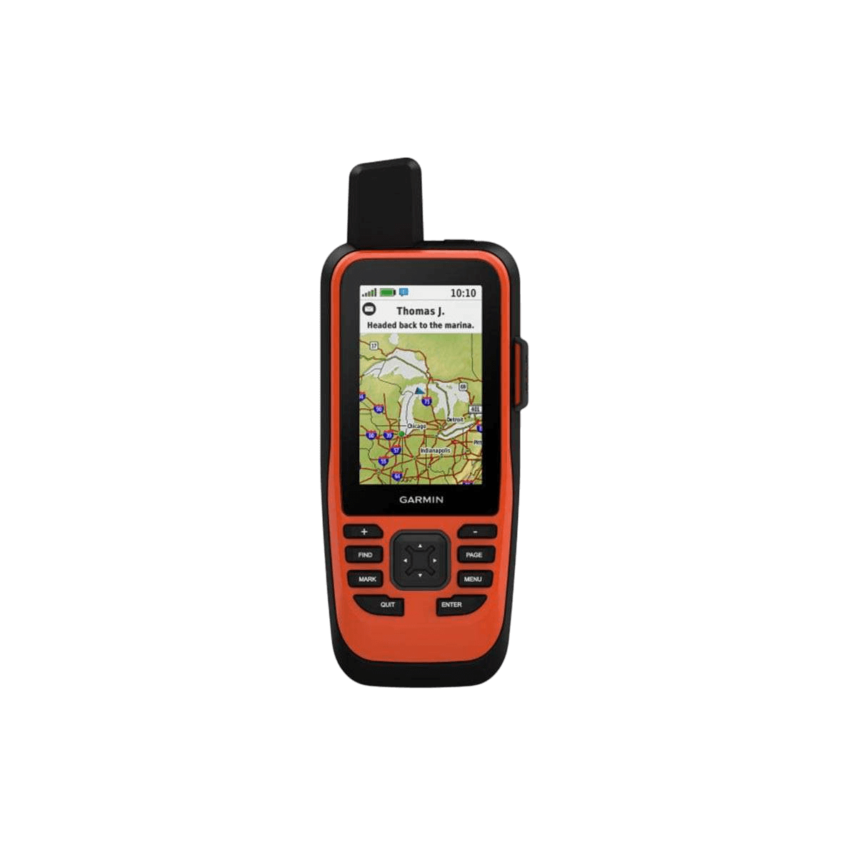
GARMIN - GPSMAP 86i - THE TOP OF THE RANGE PORTABLE GPS
Weigh anchor with confidence with the GPSMAP 86i handheld device. Whether you're at sea for a day of fishing, sailing or cruising, you'll have peace of mind thanks to your emergency navigator with satellite communication and interactive SOS.
This top-of-the-range portable GPS is waterproof (IPX7) and features a 3" sunlight-readable color display. What's more, wireless connectivity lets you remotely control your autopilot or marine radio Fusion.
|
|
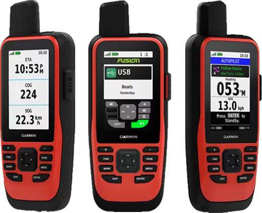
TAKE CONTROL OF YOUR BOATSynchronize the GPSMAP 86i with compatible chartplotters and instruments Garmin and see real-time boat data displayed directly on your portable device. It can also be used as a remote control for easy operation of your Garmin autopilot and FUSION products. When you're underway, an adjustable GPS filter provides speed and magnetic heading indications on the swell for more accurate tracking. |
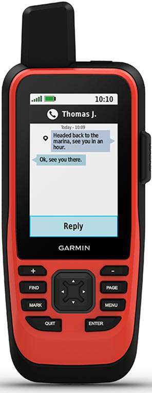
SATELLITE COMMUNICATIONThanks to integrated inReach satellite technology, the GPSMAP 86i keeps you in touch anywhere in the world. Send and receive SMS messages, track and share your routes and, in case of emergency, send an interactive SOS to a professional monitoring center active worldwide 24/7, via the global Iridium* satellite network. You can also receive marine weather forecasts directly on your device, so you can make informed decisions based on conditions in your area or the region you're heading to. *Satellite subscription required |
 |
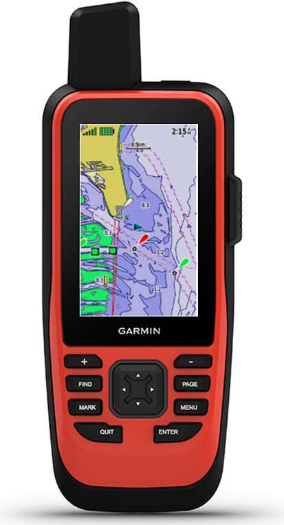 |
NAVIGATION MAP COMPATIBLEGPSMAP 86i is supplied with a world map background. You have the option of adding BlueChart G3 marine charts, which offer unrivalled coverage, clarity and detail thanks to Garmin and Navionics content. Detailed bathymetric contours let you see 0.3 contours that more accurately describe bottom structure, improving the quality of fishing charts and the level of detail on maps of marshes, canals and harbors. Map not supplied, available as an option |
KEY FEATURES
|
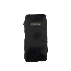
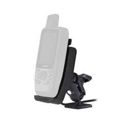
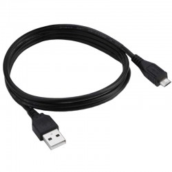
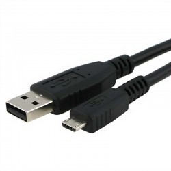
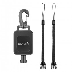
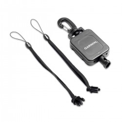
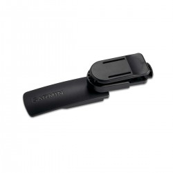
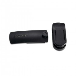
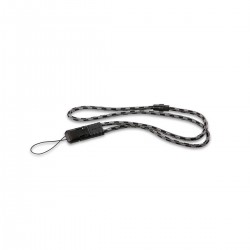
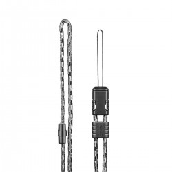
BOX CONTENTS :
|
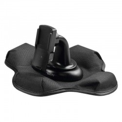
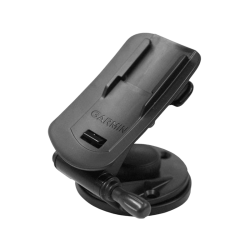
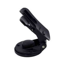
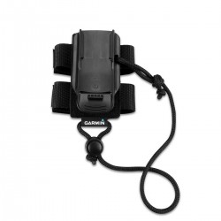
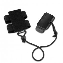
Accessories
Customer Reviews (1)
Questions / Answers