- -€77.58


☀️ PROMO SUMMER
Free warranty extension
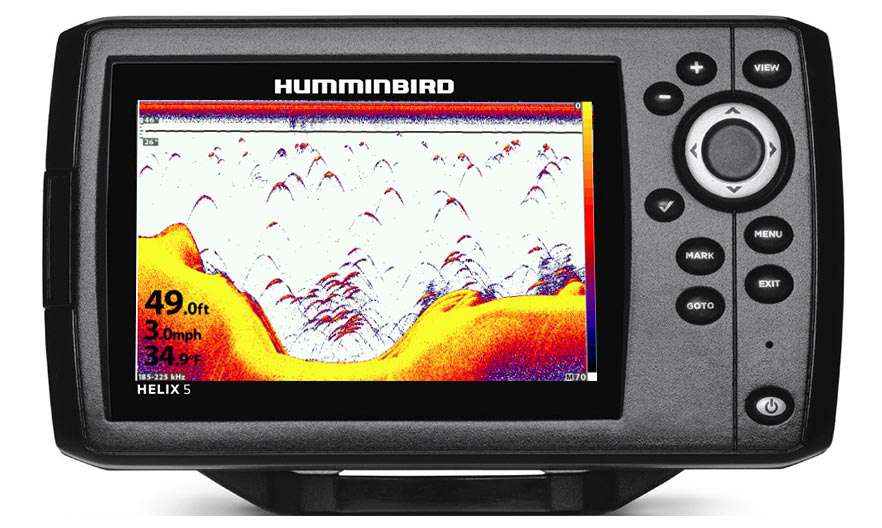
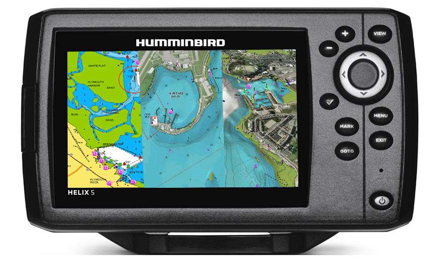
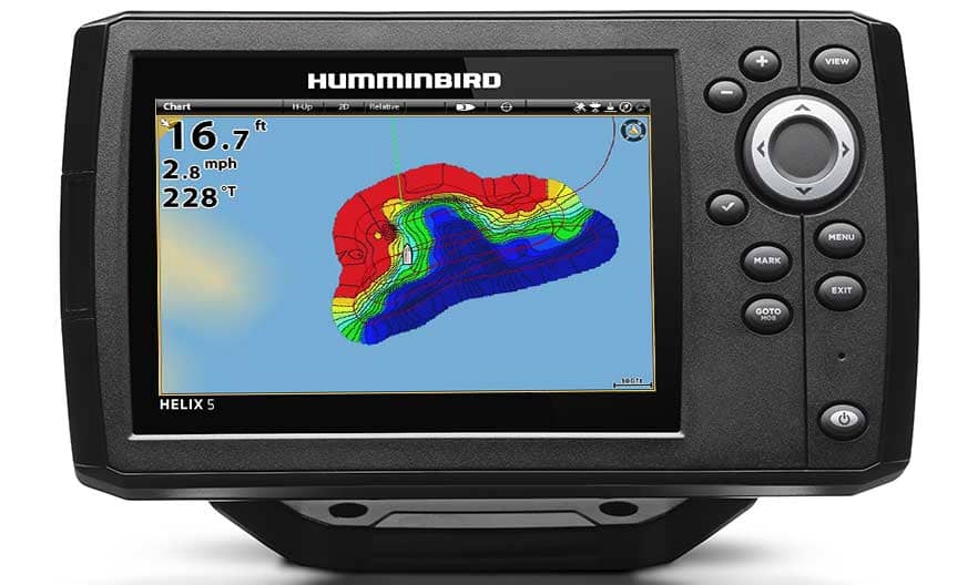
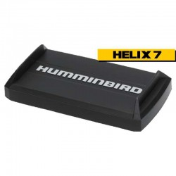
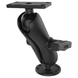
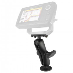
Helix 5 G3 CHIRP HD 2D
🤩
Summer Sale
€324.17
€287.25
with the code
SUMMER26
-11%
from
€308.25
€324.17
-11%
IN SUPPLIER STOCK
- -€15.92