- -€3.72


Cartes marines pliées SHOM - Manche - Côte d'Opale et Baie de Seine
Ref.
1037416
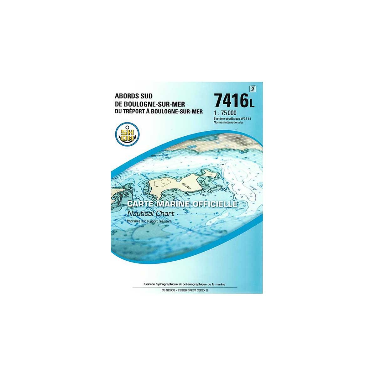
This SHOM chart is intended for navigation in the Channel. It focuses on the navigation zone 7416L: Southern approaches to Boulogne-sur-Mer - Du Tréport à Boulogne-sur-Mer.
SHOM paper charts comply with SOLAS regulations.
- Chart folded to A4 format: 21 x 29.7 cm / unfolded to A0 format: 84 x 119 cm
- Sector / Cruising Area: 7416L - South of Boulogne-sur-Mer - From Tréport to Boulogne-sur-Mer
- Scale: 1:75,000
- Unit of measurement: meter
1037416
Data sheet
- Product type
- Carte de navigation, River map
SHOM - Folded nautical chart SHOM - Manche - Côte d'Opale et Baie de Seine
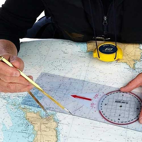
Designed for yachtsmen and professionals, the paper folded nautical charts produced by SHOM (Service hydrographique et océanographique de la Marine) provide essential information for maritime navigation.
As well as being resistant to the damp environment, the special paper allows you to write down personal navigation data (plot point, course, etc.).
 |
SHOM marine chartsSHOM paper charts generally include the following elements:
Charts are regularly updated to reflect changes in marine and coastal conditions, to keep them in line with current international standards. Comptoir Nautique also offers a selection of chart table instruments for plotting points, routes or course. |
SHOM navigation zones and chart scales
| SHOM N° | Navigation zone | Scale |
| 6735L | Pas de Calais - From Boulogne-sur-Sea to Zeebrugge - Thames Estuary | 1 : 150 000 |
| 6651L | Calais to Dunkirk | 1 : 43 100 |
| 6683L | Port du Havre - Rouen channel entrance | 1 : 15 000 |
| 6824L | From Cap d'Antifer to Cap Gris-Nez - From Newhaven to Dover | 1 : 150 000 |
| 6857L | Baie de Seine - Cap de la Hague to Fécamp | 1 : 150 000 |
| 6940L | South coast of England - From Start Point to The Needles - DST off Les Casquets | 1 : 150 000 |
| 6968L | Anvil Point to Beachy Head | 1 : 150 000 |
| 7057L | Port of Dunkirk | 1 : 20 000 |
| 7207L | Ports of Fécamp and Tréport | 1 : 12 500 |
| 7247L | Port of Boulogne-sur-Mer | 1 : 10 000 |
| 7258L | Outskirts of Calais | 1 : 15 000 |
| 7311L | La Manche (Western part) - From Isles of Scilly and Ouessant to Casquets | 1 : 357 000 |
| 7312L | From Casquets to Pas de Calais | 1 : 375 000 |
| 7317L | Port of Dieppe | 1 : 12 500 |
| 7323L | Pas de Calais - From Boulogne-sur-Mer to Calais and from Dungeness to Dover | 1 : 75 000 |
| 7416L | Southern Boulogne-sur-Mer - From Tréport to Boulogne-sur-Mer | 1 : 75 000 |
| 7417L | Approaches to Fécamp and Dieppe - From Cap d'Antifer to Dieppe | 1 : 75 000 |
| 7418L | Approaches to Le Havre and Antifer - Seine mouth - From Ouistreham to Cap d'Antifer | 1 : 60 000 |
| 7419L | The Seine - From Le Havre to Rouen | 1 : 60 100 |
| 7420L | Ports in the Baie de Seine | Various scales |
Customer Reviews (0)
No customer reviews for the moment.
Sign in to leave a review
Questions / Answers