- -€3.72
This SHOM marine chart is intended for navigation in the Mediterranean - Littoral Ouest (Port-Barcarès à Marseille). It focuses on navigation zone 7004L: Gulf of Aigues-Mortes, Ports of Palavas-les-Flots, Carnon-Plage and Saintes-Maries-de-la-Mer.
SHOM paper charts comply with SOLAS regulations.
- Chart folded to A4 format: 21 x 29.7 cm / unfolded to A0 format: 84 x 119 cm
- Sector / Cruising Area: 7004L - Golfe d'Aigues-Mortes, Ports de Palavas-les-Flots, Carnon-Plage et de Saintes-Maries-de-la-Mer
- Scale: 1:15,000
- Unit of measurement: meter
Data sheet
- Product type
- Carte de navigation
SHOM - Folded nautical chart SHOM - - Méditerranée Littoral Ouest (Port-Barcarès à Marseille)
Designed for yachtsmen and professionals, the paper folded nautical charts produced by SHOM (Service hydrographique et océanographique de la Marine) provide essential information for maritime navigation.
As well as being resistant to the damp environment, the special paper allows you to write down personal navigation data (plot point, course, etc.).
 |
SHOM marine chartsSHOM paper charts generally include the following elements:
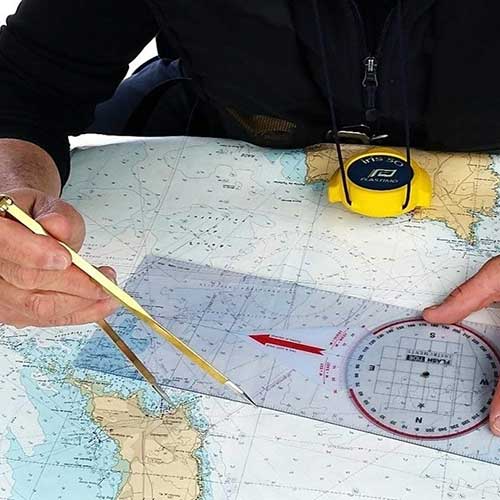
Charts are regularly updated to reflect changes in marine and coastal conditions, to keep them in line with current international standards. Comptoir Nautique also offers a selection of chart table instruments for plotting points, routes or course. |
SHOM navigation zones and chart scales
| SHOM N° | Navigation zone | Scale |
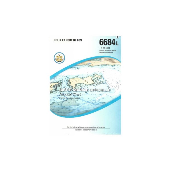
| 6684L | Gulf and Port of Fos | 1 : 25 000 |
| 6693L | From Saintes-Maries-from-la-Mer to Port-- Saint Louis-du-Rhône | 1 : 50 000 |
| 6767L | From Fos-sur-Mer to Marseille | 1 : 50 000 |
| 6839L | Thau lagoon | 1 : 30 000 |
| 6843L | From Cabo Creus to Port-Barcarès | 1 : 50 000 |
| 6844L | From Port-Barcarès to mouth of the Aude - Leucate - Bages - Gruissan | 1 : 50 000 |
| 6907L | Étang de Berre | 1 : 25 000 |
| 6951L | From Fos-sur-Mer to Capo Mele | 1 : 250 000 |
| 7003L | Le Cap d'Agde - Saint-Cyprien - Banyuls-sur-Mer et Gruissan | Various scales |
| 7004L | Golfe d'Aigues-Mortes, Ports de Palavas-les-Flots, Carnon-Plage et de Saintes-Maries-de-la-Mer | 1 : 15 000 |
| 7053L | From Sète to Pointe de l'Espiguette | 1 : 50 000 |
| 7054L | From the mouth of the Aude to Sète | 1 : 50 000 |
| 7390L | Port of Marseille | 1 : 10 000 |
| 7391L | Southern outskirts of Marseille - From Îles du Frioul to Île de Jarre | 1 : 12 500 |
| 7392L | Cap Couronne to Cap Croisette - Golfe de Marseille | 1 : 25 000 |
| 7434L | Ports of Sète, Port-la-Nouvelle, Port-Vendres and Collioure | Various scales |
Customer Reviews (0)
Questions / Answers


