- -€299.08
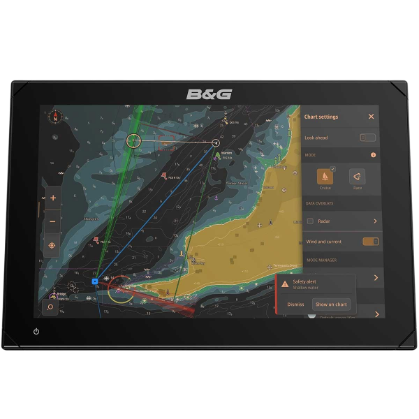
Discover the future of navigation with the latest B&G Zeus S 12" touchscreen navigation display ! As the largest screen in the Zeus S range from B&G, it incorporates a variety of advanced features, offering an unrivalled navigation experience.
With its ultra-fast Quad Core processor, it ensures smooth interaction between instruments, radar and charts. The integration of GPS and WiFi in this multifunction device makes it the perfect tool for modern navigation enthusiasts.
Read more FeaturesData sheet
- Screen size
- 12"
- Screen type
- Tactile
- Range
- Zeus S
- Device compatibility
- AIS, Ethernet, Autorouting function, Multimedia, Radar
- NMEA compatibility
- NMEA 2000
- Ease of use
- Confirmed
- Activity
- Cruising, Sailboat
B&G - ZEUS S 12" - A FLUID CHARTPLOTTER
The map plotter B&G ZEUS S 12" has been specially developed for meeting the needs of sailing, with a wide range of advanced functions designed to improve navigation performance. Thanks to its new navigation mode, the dashboard customization and data visualization, this device provides all the information you need for safe, smooth browsing.
Its touchscreen features state-of-the-art SolarMaxHD IPS technology, ensuring optimum legibility from every angle, even in direct sunlight. Equipped with a Quad-Core microprocessor, it guarantees smooth operation of all functions (instruments, radar, sonar, map...) simultaneously.
In addition, it is only compatible with nautical charts C-MAP DISCOVER X and REVEAL X, with precise data visualization for easy navigation.
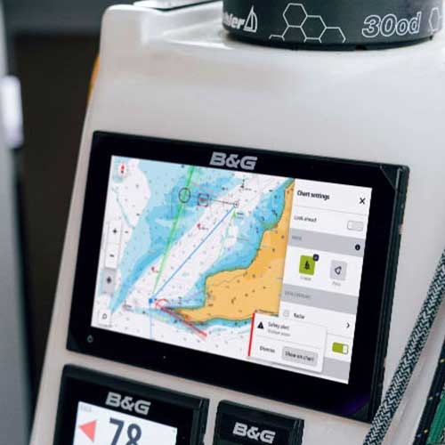 |
Various navigation modesOptimize your performance at sea at quick access to essential information. Choose the navigation mode that best suits your situation to obtain key data at any time. Explore a wide range of practical options, including :
Enjoy detailed maps with C-MAP DISCOVER X and REVEAL X (optional), providing precise data. Visit tide and current forecasts make route planning easier, while self-route further simplifies navigation. For a high-quality overview, overlay different map layers such as radar or satellite images (exclusively with C-MAP Reval). |
Zeus S: safety at seaHave you ever needed calculate the time required to reach a specific location on a map, or share with your crew the time remaining before reaching the finish line ? Simply position the pointer anywhere on the map to get an estimate of navigation time and distance to destination. This feature is particularly useful if you're heading for a crossing point. It features an early warning function, exclusive to optional C-Map charts. It warns you of hazards such as buoys, shallow water, rocks and coastlines, thanks to its aIS compatibility. The Zeus S 12" triggers these early warnings regardless of zoom level, speed or type of view. They let you know when presence of potentially dangerous obstacles, the map can be used to show the location of any object, whether visible or underwater. This feature allows you to pinpoint areas at risk, taking into account the time and distance needed to reach them. This is particularly useful when sailing at night or in unknown waters. |
 |
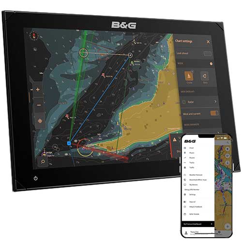 |
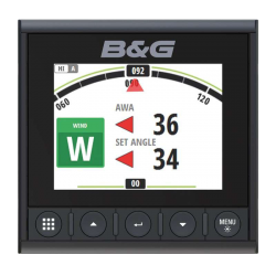
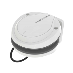
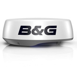
Zeus S: integration and featuresThe map plotter B&G Zeus S 12" is specially designed to become the nerve center of your navigation system. Equipped with the nMEA 2000 connectivity, it can be coupled with autopilots, measuring instruments, radar systems, sensors, audio systems, engines and various other compatible peripherals. Zeus S connects seamlessly to the application B&G, allowing you to plan itineraries, check routes and manage waypoints directly from your mobile device. Synchronization is instantaneous as soon as you step on board. What's more, you have direct access to the latest software updates. Other features :
|
DISPLAY PRESENTATION B&G ZEUS S 12
Chartplotter technical specifications B&G Zeus S 12
| Dimension (in mm) | 310 x 208 x 78 |
| Screen definition | 1280 × 800 pixels |
| Weight (in kg) |
2.2 |
| Viewing angle | 85° |
| Compass safety | 50 cm |
| CONNECTIVITY | |
| NMEA 2000 | ✔️ |
| Wifi | ✔️ |
| Ethernet (1 port) | ✔️ |
| SD card (1 microSD port) | ✔️ |
| NAVIGATION |
|
| Integrated 10Hz GPS | 32 channels (WASS / MSAS / EGNOS / GLONASS) |
| AIS (data via NMEA2000) | ✔️ |
| Waypoints / routes / tracks | 6000 / 500 / 50 |
| OTHER FEATURES | |
| Voltage | 12V |
| Recommended fuse amperage | 3A |
| Max. consumption | 29.7 W |
| Waterproofing | IPx6 & IPx7 |
MAIN POINTS :
|
BOX CONTENTS :
|
Accessories
Customer Reviews (0)
Questions / Answers

