- -€5.31
 - N°1 - comptoirnautique.com")
 - N°2 - comptoirnautique.com")
 - N°1 - comptoirnautique.com")
 - N°2 - comptoirnautique.com")
Atlas of tidal currents and water levels (France)
Ref.
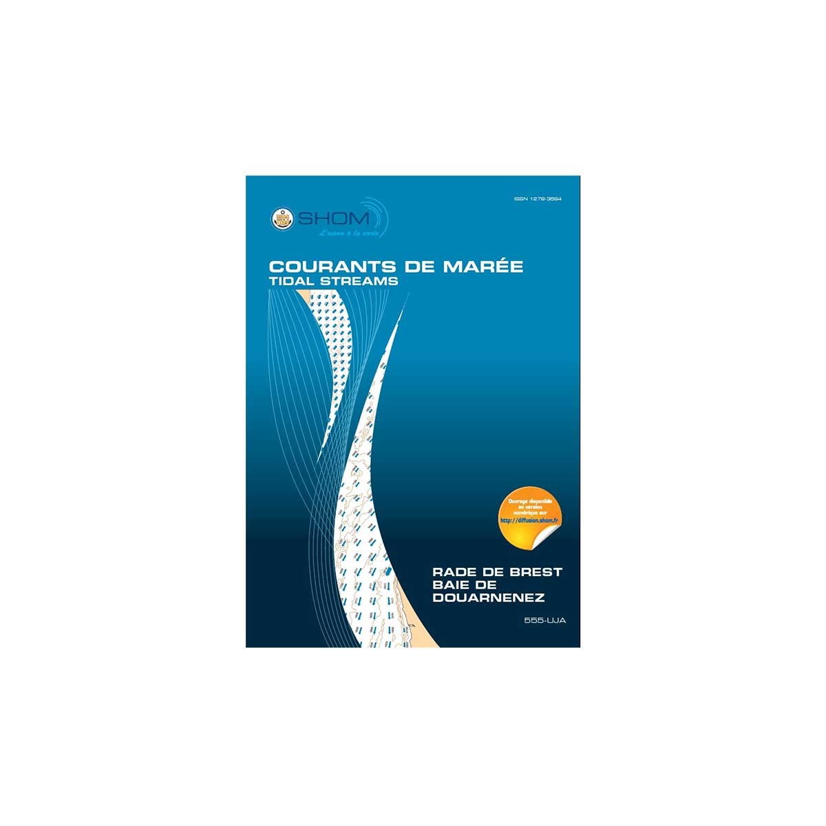
103D555UJA
The SHOM atlas of tidal currents and water heights is an indispensable work for any sailor wishing to know the tides for his safety or his performance in a regatta. The atlas displays bathymetry and all current fields for each hour of the tide, at-and-.
SHOM's expertise in hydrodynamic modeling enables us to describe the currents in an area in great detail.
Here, the SHOM tidal currents atlas focuses on the geographical area Rade de Brest - Baie de Douarnenez (555-UJA), but other areas are also available.
103D555UJA
Data sheet
- Product type
- Work
Customer Reviews (0)
No customer reviews for the moment.
Sign in to leave a review
Questions / Answers