- -€0.38


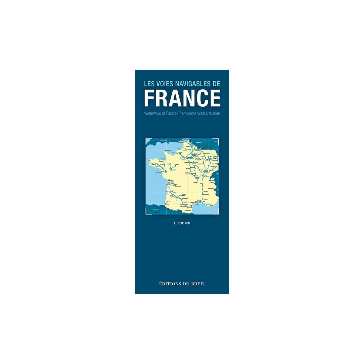
Map of French waterways
Ref.
1090067
Editions de Breil's Carte des voies navigables de France is a paper map detailing all the canals, rivers and streams in France at a scale of 1:1,000,000.
Designed for both pleasure boaters and river navigation professionals, you'll find all the characteristics of each waterway, such as length, air and water draught, locks and more. All locks are also indicated. Cartography is in full color, with mountains and valleys in relief.
- Trilingual presentation (FR - EN- DE)
- Folded format: 11.2 x 25 cm
This product is no longer available , we suggest:
1090067
Data sheet
- Product type
- River map
Customer Reviews (0)
Questions / Answers