- -€50.08


 - N°8 - comptoirnautique.com")


☀️ PROMO SUMMER


 - N°8 - comptoirnautique.com")


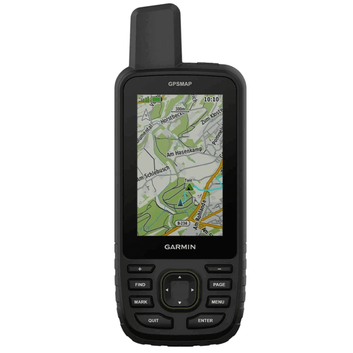
Discover the portable GPS Garmin, your ultimate adventure companion. With a long battery life of up to 840 hours, this rugged GPS offers enhanced accuracy thanks to multi-band technology.
Enjoy preloaded TopoActive maps and access to satellite images on a 3" anti-glare color display. Keep up to date with weather forecasts by pairing your device with a compatible smartphone.
Get ready to explore the great outdoors with Garmin GPSMAP 67.
Data sheet
Dive into adventure with the new portable GPS Garmin GPSMAP 67. This rugged, high-performance companion is designed to extend your adventures. With exceptional battery life of up to 180 hours in Tracking mode and 840 hours in Expedition mode, you can explore the great outdoors without worrying about the battery. With multi-band technology, this GPS offers unrivalled accuracy for tracking your position, even in the most challenging conditions.
Designed for adventure, the Garmin GPSMAP 67 meets military standards for thermal, shock and water resistance (MIL-STD-810), ensuring its durability even in the most extreme conditions.
For added convenience, this portable GPS Garmin also features an integrated LED flashlight, which can be used as a beacon to signal your position when needed, making it a versatile tool for all your outdoor activities.
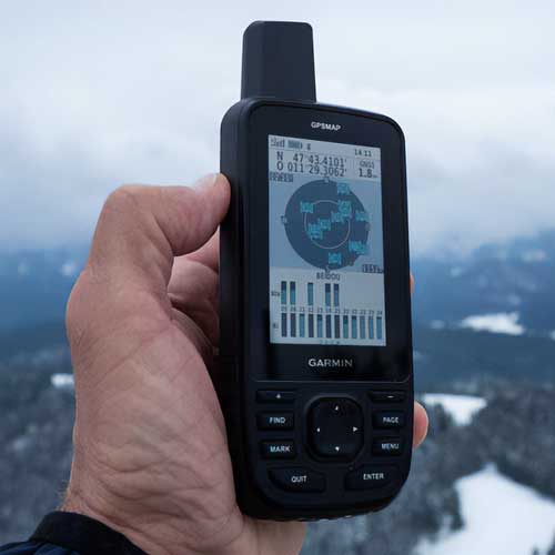 |
Precise, reliable GPS GarminThe GPS Portable Garmin GPSMAP 67 features multi-band GNSS support, allowing you to access several satellite navigation systems, such as GPS, GLONASS, Galileo and QZSS. This advanced technology uses multiple frequencies sent by navigation satellites, improving geolocation accuracy even in areas where GNSS signals are reflected, weak or generally do not penetrate. With the GPSMAP 67 portable GPS Garmin, you can enjoy your favorite outdoor activities with confidence, knowing that you have maximum accuracy and reliability. |
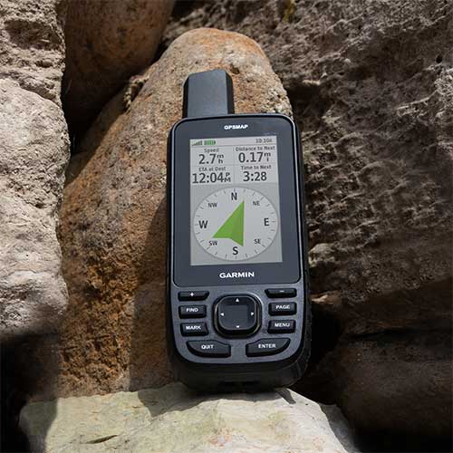
Discover magical placesThe ABC sensors (altimeter, barometer and 3-axis electronic compass) integrated into the portable GPS Garmin GPSMAP 67 enable you to follow every route with precision. The altimeter provides altitude data, allowing you to track variations in terrain, while the barometer monitors weather changes. The 3-axis electronic compass gives you reliable orientation, whether you're on the move or stationary. With these advanced sensors, you can set off on your adventures with confidence, whether hiking in the mountains or exploring the great outdoors. |
 |
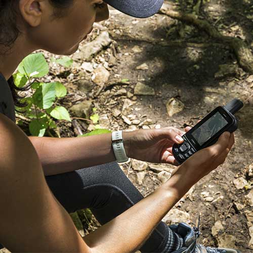 |
Portable GPS with detailed mapsThe portable GPS Garmin GPSMAP 67 features a host of preloaded TopoActive Europe maps showing peaks, parks, coastlines, rivers, lakes and landmarks. You'll also be able to download high-resolution photorealistic satellite images directly to your device via the Wi-Fi network. These detailed maps allow you to discover the terrain you'll be covering, easily identifying trails, refreshment points and parking areas. |
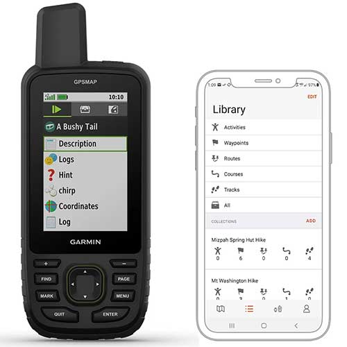
Plan and synchronizeWith the Garmin Explore app, you can plan, consult and synchronize waypoints, routes and tracks. Whether via the mobile app or the website, you have easy access to all your previous activities, even when you're in the field. What's more, you can benefit from convenient connectivity with your compatible smartphone to follow the weather forecast on your route. Stay informed and prepared for all weather conditions. For treasure hunting enthusiasts, the device offers automatic updates on treasure hunts from Geocaching Live, allowing you to discover new adventures at every stage of your journey. Explore the world with confidence thanks to these additional features. |
 |
|
GPSMAP 67 | ||
|---|---|---|
| Dimensions | 6.2 x 16.3 x 3.5 cm | |
| Screen definition | 240 x 400 pixels | |
| Weight |
230 g | |
| Water resistance | IPX7 | |
| Interface / Connectivity | USB-C / WI-FI, Bluetooth, ANT+ | |
| Waypoint / Tracks | 10 000 / 250 | |
| Position | GPS, GLONASS, GALILEO, QZSS, BEIDOU, IRNSS | |
| ABC sensors | ✔️ | ✔️ |
| Dynamic weather | ✔️ | ✔️ |
| InReach features |
❌ | ✔️ |
| Autonomy |
|
|
MAIN POINTS :
|
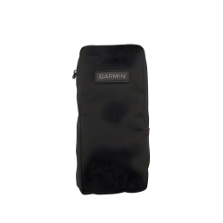
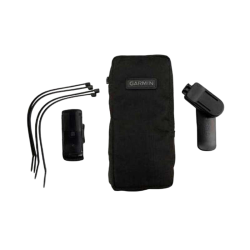
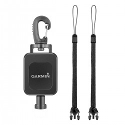
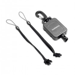
CONTENTS OF BOX :
|
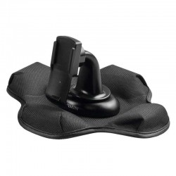
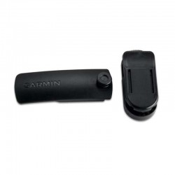
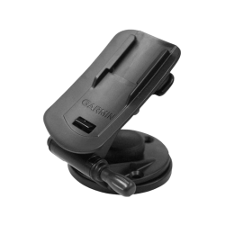
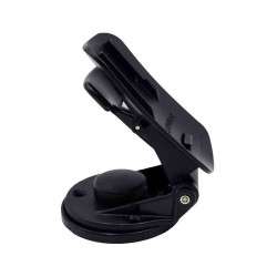
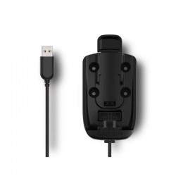
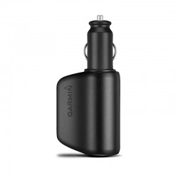
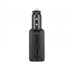
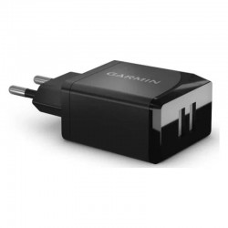
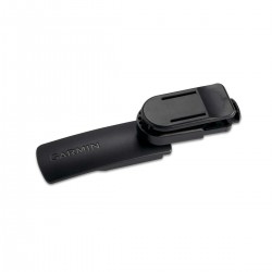
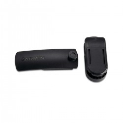
Accessories
Questions / Answers