• -€58.41
  • New
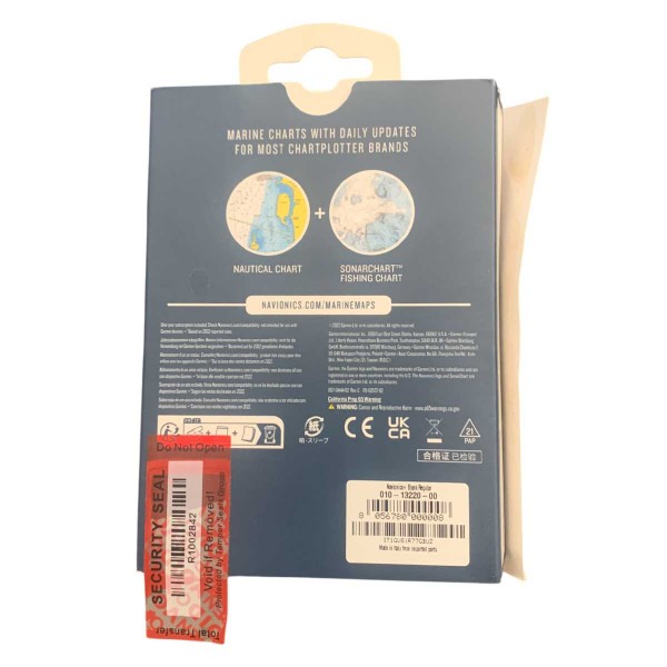
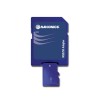
  • Carte Navionics+ REGULAR - N°1 - comptoirnautique.com
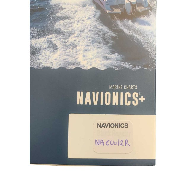
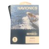
  • Carte Navionics+ REGULAR - N°2 - comptoirnautique.com
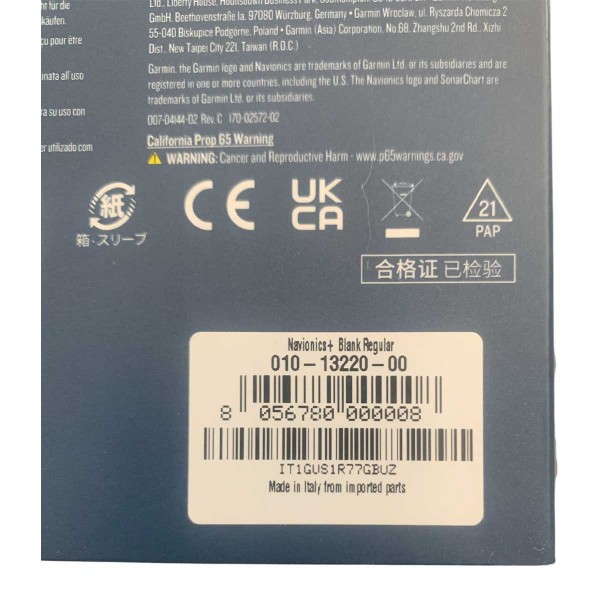
  • Carte Navionics+ REGULAR - N°3 - comptoirnautique.com
  • Carte Navionics+ REGULAR - N°4 - comptoirnautique.com
  • Carte Navionics+ REGULAR - N°5 - comptoirnautique.com
  • Carte Navionics+ REGULAR - N°6 - comptoirnautique.com
  • Carte Navionics+ REGULAR - N°1 - comptoirnautique.com
  • Carte Navionics+ REGULAR - N°2 - comptoirnautique.com
  • Carte Navionics+ REGULAR - N°3 - comptoirnautique.com
  • Carte Navionics+ REGULAR - N°4 - comptoirnautique.com
  • Carte Navionics+ REGULAR - N°5 - comptoirnautique.com
  • Carte Navionics+ REGULAR - N°6 - comptoirnautique.com

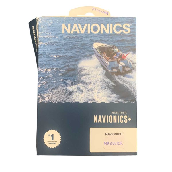
Carte Navionics+ REGULAR

Ref. N-NAEU012R-R

Navionics+ charts are designed for use at sea or on inland waters. This all----solution offers detailed integrated cartography, isobaths every 50 cm, and advanced features such as Autorouting Dock-, and-Dock.

The map has never been used, was updated on 08/07/2026, and was programmed in March 2026.

Note: “Navionics+” maps are not compatible with the following chartplotters Garmin; please refer-to the chartplotter compatibility guide.

€74.92 Tax included
-43%
€133.32
Pay in installments
3x 4x 10x 12x 24x 60x
Quantity
Last items in stock
74 loyalty points Earn €0.74 in rewards
Trustpilot reviews 94% satisfaction based on 3,800 reviews
Reseller Premium
Payment 100% secure
N-NAEU012R-R

Data sheet

Range
Navionics +
Card size
Regular (R)
Geographical area
Europe
Product type
Cartography
Description

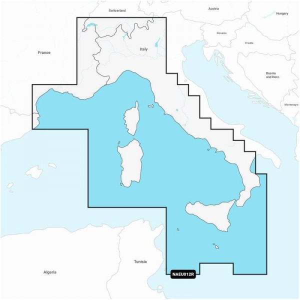
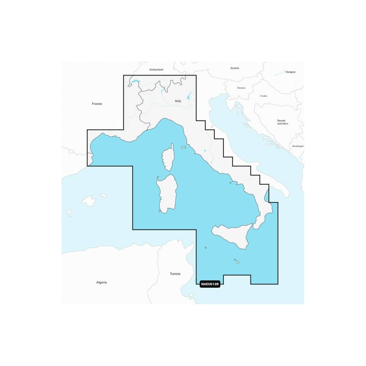
NAVIONICS - NAVIONICS+ REGULAR MAPS - GEOGRAPHIC AREA: SOUTHERN EUROPE

On the water, it’s essential to know your route well and to have charts you can rely on. Seamlessly combining marine and lake chart content, this all---in--solution offers clear and reliable mapping for the widest range of chartplotter brands.

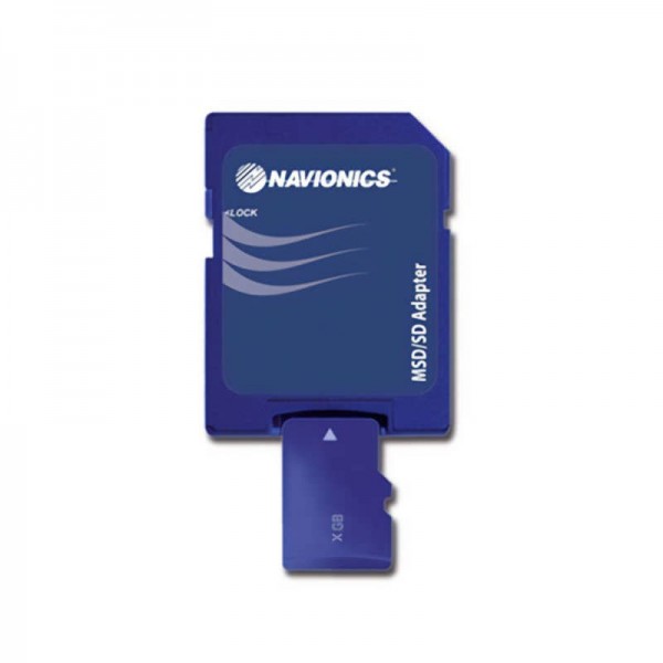
Navionics+ charts are available on micro SD/SD memory cards for easy installation on your compatible marine device.

Navionics Purchasing a chart also grants you access to daily updates via the Navionics Chart Installer software for 12 months. (Renewable after 12 months via a subscription)

The Southern Europe chart area is also available under the C-MAP brand. You can also download the region code guide below.


caractéristiques des cartes navionics+

NAVIONICS+ MAP FEATURES

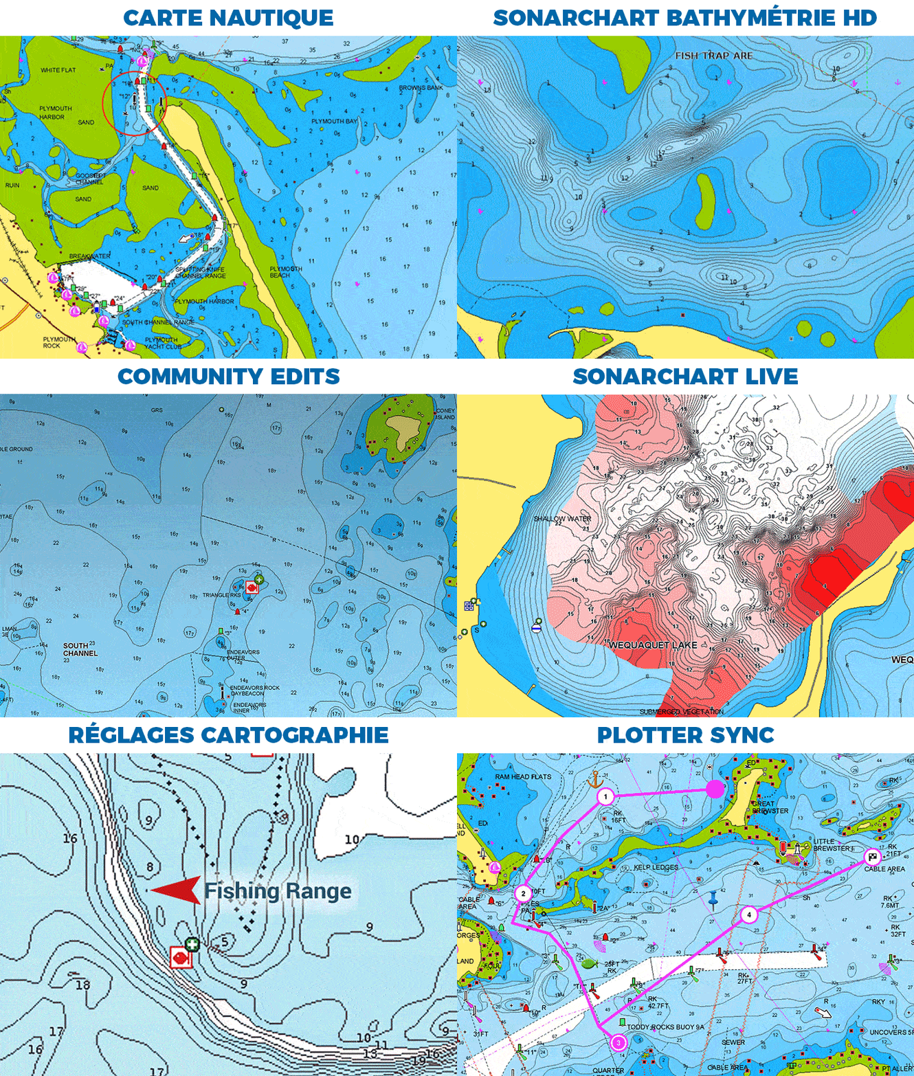
  • NAUTICAL MAP: Find all the essential information for fishing, sailing, or motorboating: harbor maps, depth contours, navigational aids, nearby maritime services, and much more.
  • SONARCHART HD BATHYMETRY: For improved fishing and navigation, SonarChart HD bathymetric maps display contours as fine as 50 cm for a more detailed representation of the seabed structure.
  • COMMUNITY EDITS: Take advantage of the local knowledge of other recreational boaters like you with this overlay, which includes points of interest, navigational aids, and various other edits contributed by users of our Boating app.
  • AUTOROUTING DOCK-TO-DOCK: Advanced Autorouting Navionics technology uses your boat’s specifications, along with chart data and frequently traveled routes, to calculate a suggested route from a real starting point to a real destination.
  • SONARCHART LIVE: Create your own HD depth maps during your outings. Watch new isobaths appear every 50 cm in real time as your boat moves through the water.
  • CHART SETTINGS: Customize the display of Navionics charts to focus on the features best suited to your needs. Highlight shoals, display areas of uniform depth, or identify areas rich in fish.
  • PLOTTER SYNC: Transfer routes and waypoints, update your charts, and much more between your chartplotter and the Navionics Boating app available on Android or iOS—all via Wi-Fi. You can even activate or renew your chartplotter subscription and download depth sounder logs.


HOW TO CHOOSE YOUR NAVIONICS MAP?

NAVIONICS+PLATINUM+
Marine Chart
SonarChart
Community Edits
Unlimited Updates
--to---dock autorouting
SonarChart Live
Charting Settings
Plotter Sync
Satellite Overlay with SonarChart Shading
3D View
Panoramic photos

HIGHLIGHTS:

  • Detailed nautical charts
  • Daily updates
  • Unique navigation features
  • iOS and Android companion app


WHAT'S IN THE BOX:

  • 1 - Map Navionics s + Regular Mediterranean Sea, Central & West
  • 1 - Micro SD to SD adapter
  • 1 - PDF documentation


Customer Reviews (0)

No customer reviews for the moment. Sign in to leave a review

Questions / Answers
Back to top